The Ideal Process Flow for Agroforestry Projects | Anaxee
Aug 2 2025
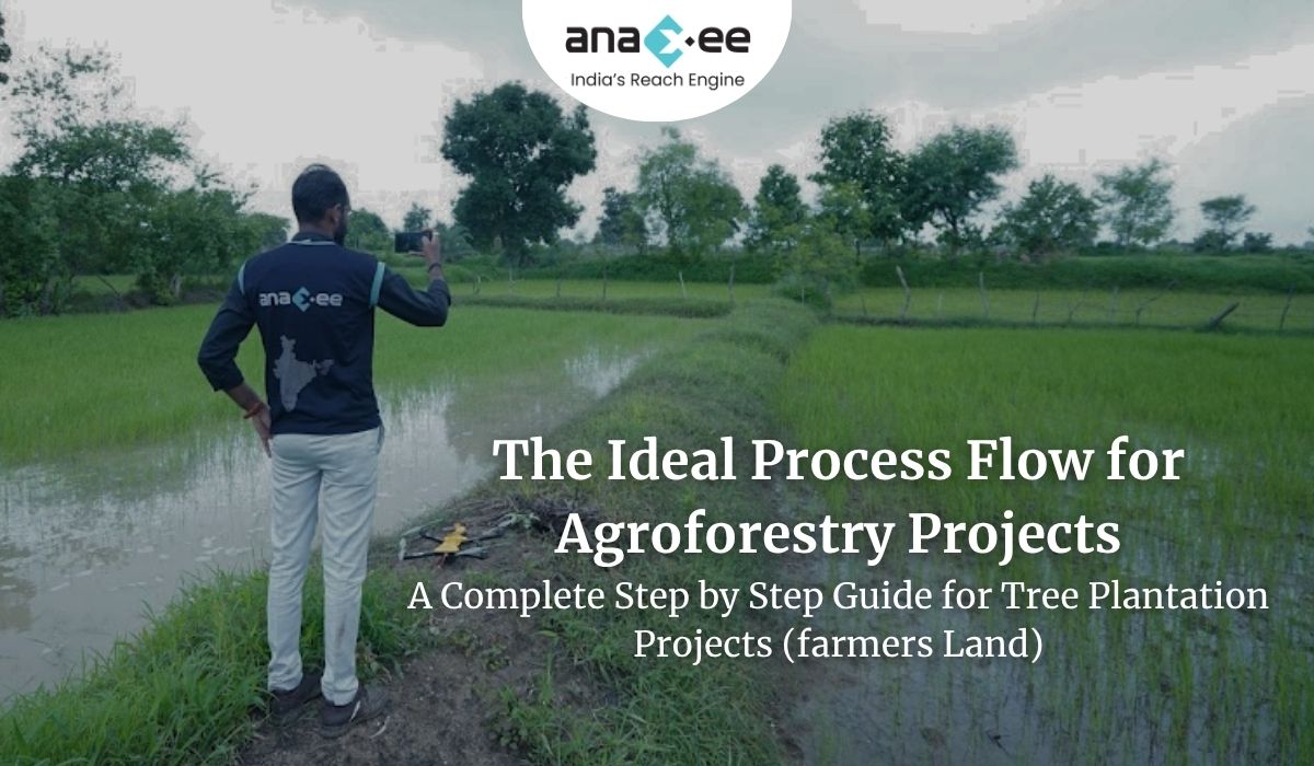
The Ideal Process Flow for Agroforestry Projects (Especially on Farmer Land)
In many agroforestry projects, people get excited and start rushing things.
Pits are dug by generic labourers & contractors, approx number of saplings dispatched to site, plantation begins- but then problems start coming one after another. Plants don’t survive, saplings count in mismatched saplings are either short or over supplied on a plot, it leads to waste of sapling, or opportunity. You are dependent on field supervisors for information about the project, rather depending on quality checked data. You are at the mercy of people on the ground.
Even worse, after 2–3 years, there’s no proper data of actual plantation done, which affects the carbon credit process.
From our experience on farmer lands, we advise Project Developers and Investors a very different scalable work-flow for a foolproof Agroforestry project. We suggest using Technology from Day 1, during the planning stage. The technology should drive actions done on the field, and not vice versa.
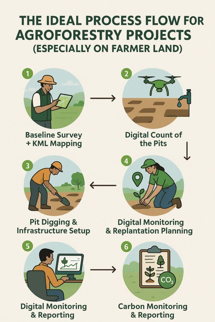
Here is how the flow should look like:
1. Baseline Survey + KML Mapping
Before touching the land parcel, understand it properly. Do a proper baseline survey and Polygon mapping, generate KML files to digitally mark the boundary of each farmer’s land.
Then use this polygon mapping to study the shape of the land and check for any barriers like water bodies, houses, slopes or bunds. This helps you know how much area is actually usable and available for plantation
2. Pit Digging & Infrastructure Setup
Calculate exact number of trees possible in that land parcel. Don’t let the labourers dig pits randomly. Decide how many pits to dig, where to dig and what spacing to keep between saplings. Create a layout for every plot, similar to how architects create drawings for every room in a house. If it’s a bund plantation, count the available bunds and total trees which can be accommodated on that bund.
Also plan and install drip irrigation before plantation begins. Water supply is very important in the first 2–3 years of plant life. Don’t delay it.
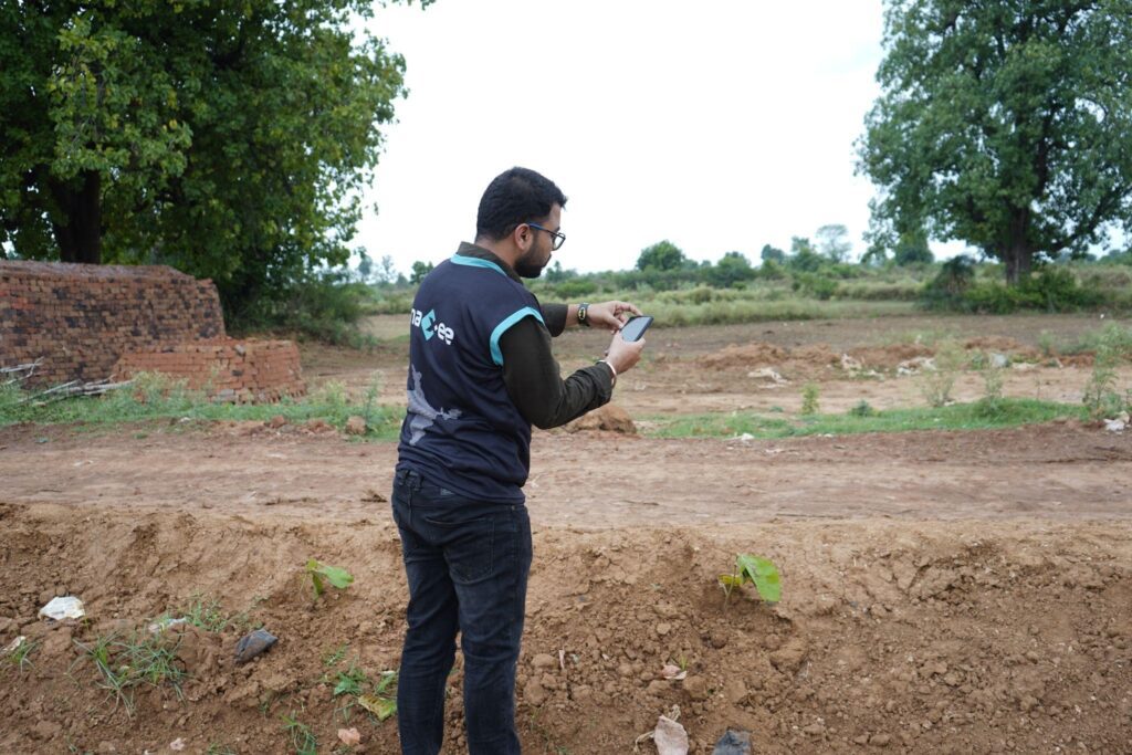
3. Digital Count of the Pits
Once the pits are ready, do the pits counting digitally.
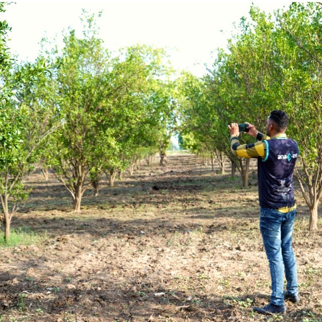
If possible, use drones to get aerial visuals and understand the area better.
This gives a more accurate number of how many saplings you really need.
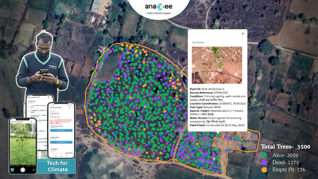
4. Plantation + Geo-Tagging
During plantation, make sure each sapling is geo-tagged or marked with a unique ID.
This helps you track which sapling was planted where, and makes it easier for monitoring later.
Think of every tree like a data point.
5. Digital Monitoring & Replantation Planning
After plantation, don’t forget the plants. Do follow ups regularly- after the first rain, after 6 months, and again after 1 year. If some saplings die, you’ll know exactly which ones need to be replanted if they’re geo-tagged. Otherwise, replantation becomes full of guesswork and confusion.
6. Carbon Monitoring & Reporting
If your goal is to earn carbon credits, you need 2–3 years of consistent digital records.
This includes:
– Tree survival data
– Geo-tagged reports
– Replantation logs
– Irrigation reports
Only with this kind of digital documentation and tech-based process, your project will qualify for carbon credit eligibility.
Agroforestry is not just about planting trees- it’s about managing them like large-scale operations. And for that system to work, you need a proper process.
Follow this flow strictly, especially when working on small holding farmers’ land.
It saves time, reduces plant loss and improves the overall impact of the project.
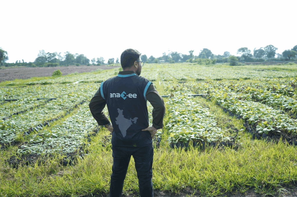
Anaxee drives large-scale, country-wide Climate and Carbon Credit projects across India. We specialize in Nature-Based Solutions (NbS) and community-driven initiatives, providing the technology and on-ground network needed to execute, monitor, and ensure transparency in projects like agroforestry, regenerative agriculture, improved cookstoves, solar devices, water filters and more. Our systems are designed to maintain integrity and verifiable impact in carbon methodologies.
Beyond climate, Anaxee is India’s Reach Engine- building the nation’s largest last-mile outreach network of 100,000 Digital Runners (shared, tech-enabled field force). We help corporates, agri-focused companies, and social organizations scale to rural and semi-urban India by executing projects in 26 states, 540+ districts, and 11,000+ pin codes, ensuring both scale and 100% transparency in last-mile operations.
Anaxee Digital Runners Private Limited 303, Right-wing, (use Lift#1) New IT Park Building 3rd floor, Pardesi Pura Main Rd, Electronic Complex, Sukhlia, Indore,
Madhya Pradesh 452003