Climate › Carbon Projects › Agroforestry
Agroforestry
Agroforestry carbon projects, mapped tree by tree
Integrate trees with agriculture for durable carbon sequestration and farmer livelihoods — with every plot geotagged, every tree counted, and every claim backed by MRV-grade evidence under VM0047.
Why agroforestry
Durable removals with real co-benefits
Agroforestry compounds over years, restoring land and incomes while sequestering carbon — when it is implemented and monitored properly.
Long-term sequestration
Trees integrated with farming deliver removals that build over a 5–8 year horizon and beyond.
Farmer livelihoods
Diversified income and improved land productivity for the farming communities who host the projects.
Backed by VM0047
Designed under Verra’s VM0047 agroforestry methodology, with evidence built for verification.
How we deliver
From farmer identification to verified trees
Geography selection
Target zones with active farming communities and need.
Farmer onboarding
Identify and onboard farmers with digital identity and consent.
Baseline & polygon
Baseline survey plus polygon mapping of every plot.
Nursery & planting
Species planning, nursery setup and supervised planting.
Geotagging
Every tree geotagged with GPS and timestamped photos.
Tree counting
Counts and survival tracked plot by plot, season by season.
Drone survey
Orthomosaics validate canopy, density and ground truth.
Reporting
Registry-ready MRV reports and live dashboards.
dMRV & drones
Large-scale drone mapping for forestry
Drones and on-ground surveys combine into MRV-grade accuracy — high accuracy, speed, scalability and transparency across the plantation.
Orthomosaic generation
Drone images stitched into a consistent, auditable view of the plantation canopy and ground truth.
Tree status & polygon mapping
Tree-by-tree status, species and height, with geo-fenced polygons for every plot.
Land assessment dashboards
Fencing, irrigation source, water needs and out-of-scope trees — all tracked in one dashboard.
Proven at scale
Real agroforestry projects on the ground
A snapshot across Madhya Pradesh, Uttar Pradesh and Karnataka.
Madhya Pradesh — agroforestry
Large-scale farmer aggregation with sustainable farming, tree counting and geotagging.
Uttar Pradesh — biomass aggregation
Farmer aggregation for compressed biogas, with biomass calculation, tree counting and geotagging.
Madhya Pradesh — monitoring
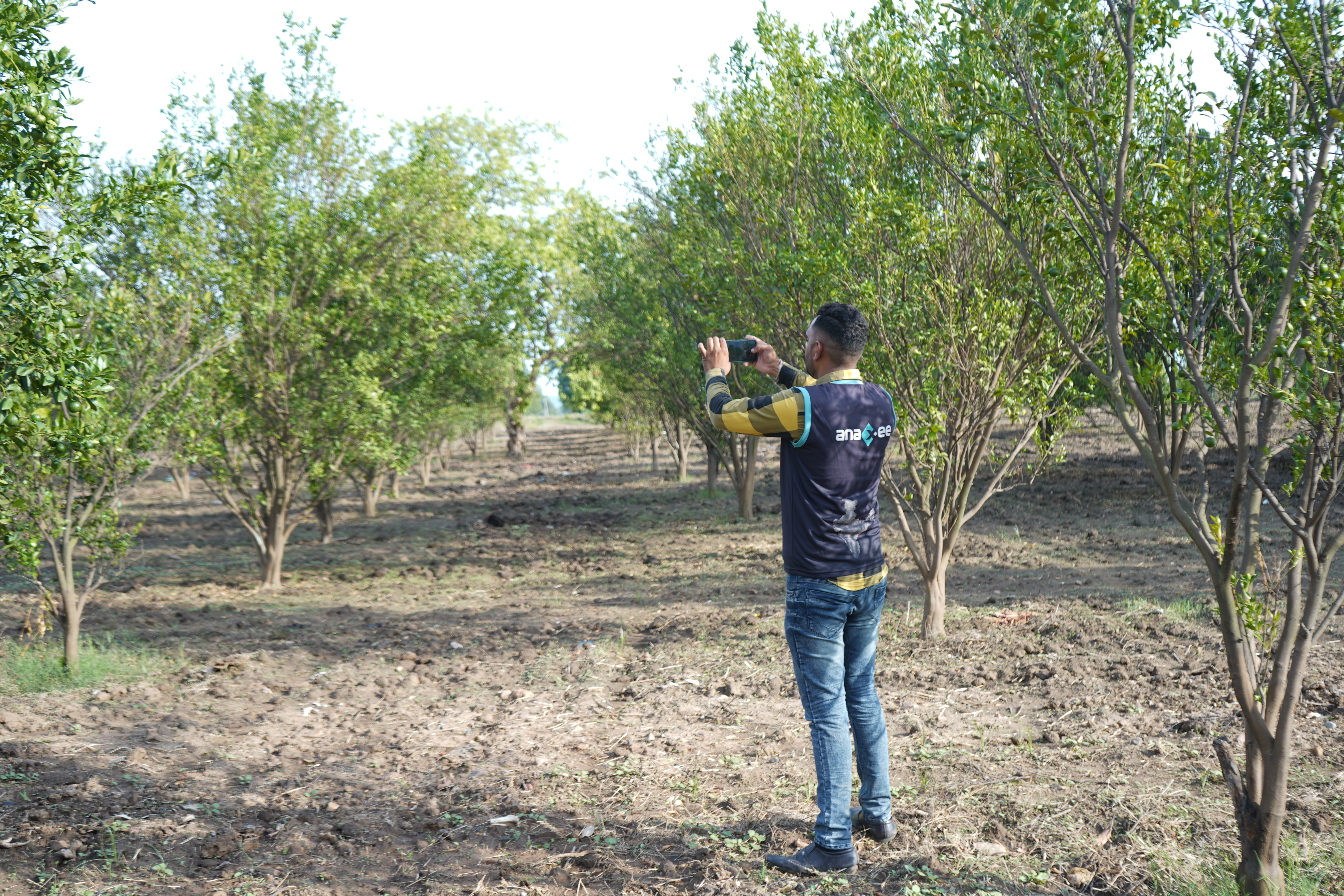
Tree counting, geotagging and polygon mapping with drone survey and farmer identity capture.
FAQ
Agroforestry, answered
Which methodology do agroforestry projects use?
Our agroforestry projects are designed under Verra’s VM0047 methodology for afforestation, reforestation and revegetation, with the project boundary and approach confirmed during design.
How are trees counted and verified?
Every tree is geotagged with GPS and timestamped photos, counts and survival are tracked over time, and drone orthomosaics plus ground-truth surveys validate canopy and stocking density for MRV-grade accuracy.
How long until credits are issued?
Agroforestry typically generates credits over a 5–8 year horizon as trees grow, with removals continuing well beyond. We help you plan a portfolio mix if you need faster issuance alongside.
What land and farmer types do you work with?
We work with farmer and community land across India, onboarding farmers through digital identity and consent, and mapping each plot’s boundary, land type, fencing and irrigation.
Why now
India needs trees back on its farmland
India holds a small share of the world’s forest and has set a bold national target for tree cover. Agroforestry is how that gap gets closed — on working farmland, paying the farmers who host it.
For the farmer
Three income streams from one field
Trees are integrated with existing crops under a free, prior and informed consent (FPIC) agreement — so farmers keep farming while a new, long-term income grows alongside.
Their crops, unchanged
Existing cultivation continues between and around the trees — no land taken out of production.
Fruit & wood
Species like mango, guava, amla, jamun, custard apple and sapota add produce and timber over time.
Carbon-credit revenue
A share of carbon revenue flows back to farmers as trees grow and sequestration is verified.
Let us talk
Plan your agroforestry project
Tell us your target hectares and geography. We will come back with a design, timeline and MRV plan.