BLOG
Carbon Project Verification in India: MRV That Proves the Trees Are Real
 About Anaxee
40,000+ Digital Runners · 540 districts · 26 states · 11,000+ pincodes of reach
A carbon credit is a promise: that somewhere, one tonne of carbon dioxide was really removed or kept out of the atmosphere. In forestry and afforestation, that promise rests on trees — trees that have to actually be planted, survive, and grow. For a project developer raising finance, or a company buying credits to meet a climate target, the nightmare is simple: paying for trees that were never planted, quietly died, or got counted twice.
That is a verification problem. And verification is only as good as the evidence behind it — which is why MRV (measurement, reporting and verification) is the backbone of a credible carbon project.
What verification actually has to prove
How Anaxee runs MRV: drones plus ground truth
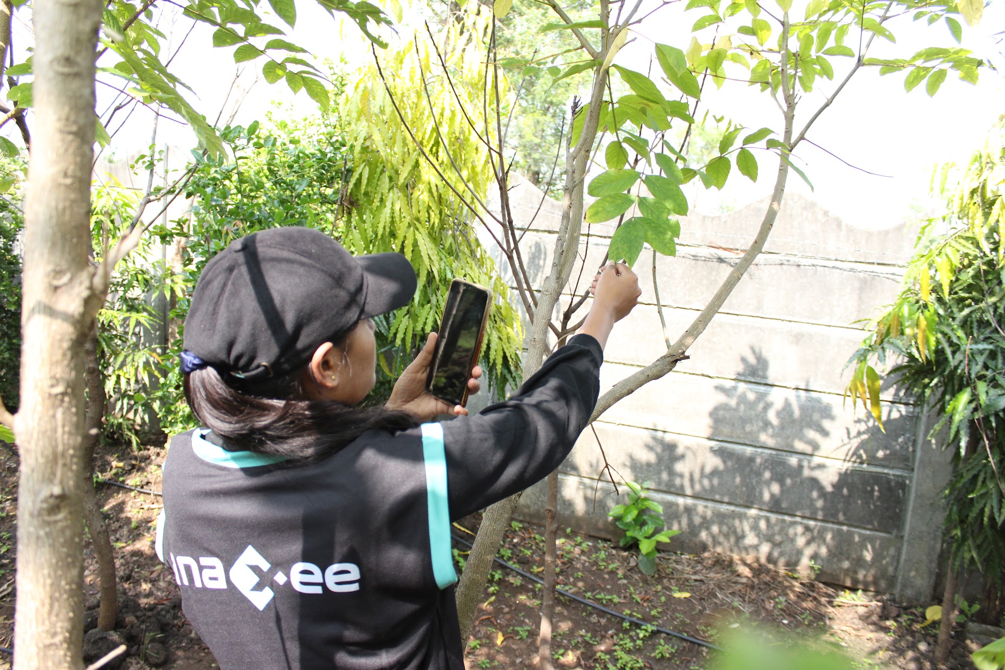
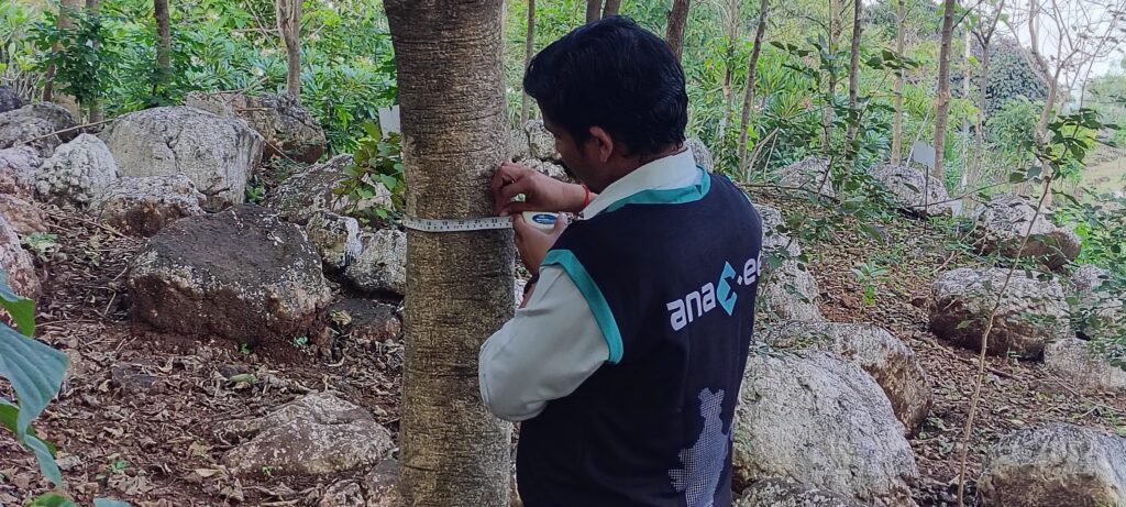
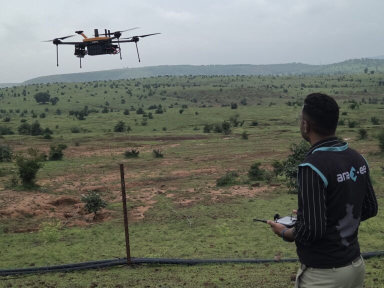
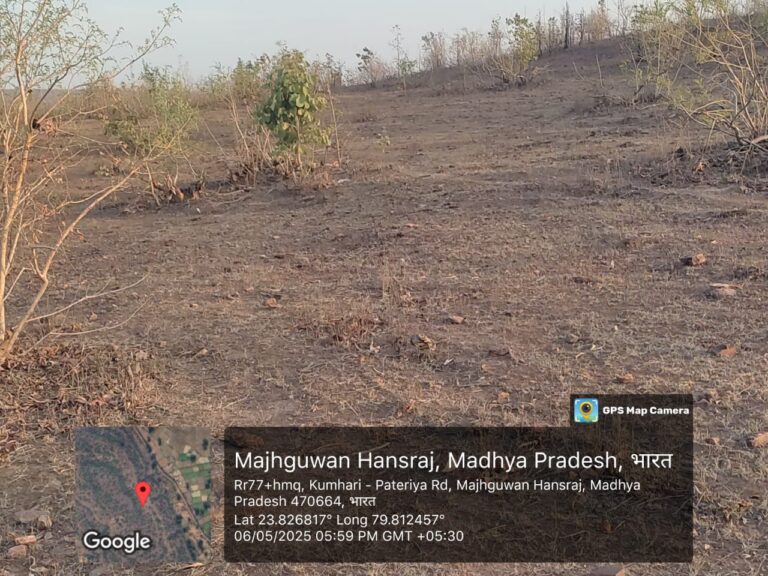
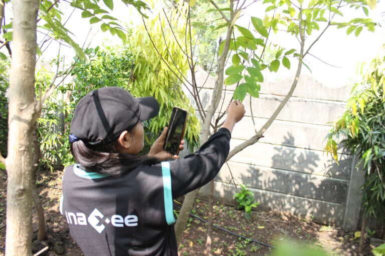
Anaxee pairs two layers of evidence. Drones fly the whole site and build a GPS-accurate orthomosaic — an aerial map where every pixel has a real coordinate — so trees can be counted and located across the entire project, not extrapolated from a sample. Then the field team goes to the ground and measures what the air cannot: species, tree diameter and height, survival and condition, each captured as a geo-tagged record. Both layers land on a live dashboard, and AI assists the counting and classification while the ground team keeps it honest.
Need verifiable MRV for your carbon project?
Anaxee flies the site, measures on the ground, and delivers GPS-tagged evidence as a live dashboard — across 540 districts.
Why this matters for credit integrity
Carbon buyers have grown wary. After years of headlines about credits that did not hold up, the market is tightening around integrity: a credit is only worth what can be verified behind it. That shift is good news for honest projects — and it puts a premium on evidence that anyone can inspect.
This is where transparency turns into trust. When a developer or a corporate buyer can open a dashboard and see the trees on the real satellite map, measured and dated, the project stops asking to be believed and starts letting itself be checked. Independent, geo-tagged MRV is also the strongest defence against the three things that sink a project’s credibility: over-claiming, double-counting and plantings that quietly failed. What is on the map is what gets counted — nothing more.
Where technology and AI change it
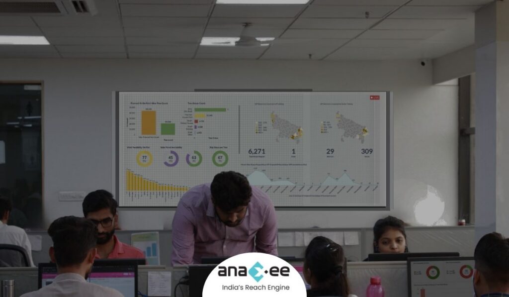
Anaxee delivers MRV as a tech product, not a stack of PDFs. Orthomosaics, GPS boundaries and geo-tagged ground measurements all live on a live dashboard the project and its auditors can open any time, from anywhere. AI assists the heavy lifting — counting and classifying trees, flagging anomalies on the imagery — while the field network supplies the ground truth that keeps the numbers defensible.
How Anaxee helps
Anaxee — India’s Reach Engine, a National Startup Award winner — flies drones, builds GPS-accurate orthomosaics and verifies them on the ground through 40,000+ Digital Runners across 540 districts and 11,000+ pincodes, delivered as live dashboards. See our drone & survey services, how orthomosaic mapping makes a project verifiable from anywhere, and how it applies to tree counting and plantation verification.
Proof — mapping & independent field verification at scale2,000+ hectares mapped and independent, geo-tagged field verification delivered across all 26 states. See all case studies →
What happens when you reach out to Anaxee
- Tell us the project — location, area and what you need to prove — by form, WhatsApp or a call.
- A real person calls back — our Indore team, within one working day.
- We scope a pilot — one site flown, measured and ground-verified, delivered as a dashboard you can open yourself.
A 150+ person team in Indore and 40,000+ Digital Runners on the ground — your enquiry reaches people who map and verify sites every day, not an inbox that goes quiet.
Tell us about your project
Share the location and area — our team will get back within one working day.
Frequently asked questions
What is carbon project verification (MRV)?
How do drones help with MRV?
Do you verify on the ground too?
Can a buyer or auditor check the project remotely?
Do you issue or certify carbon credits?
What kinds of projects is this for?
How much area have you mapped, and what does it cost?
The bottom line
The carbon market is being rebuilt around one thing: evidence you can trust. A credit backed by trees nobody can find is worthless; a credit backed by a map anyone can open and a measurement anyone can re-check is exactly what buyers now want. Drone coverage plus on-ground truth, delivered as a live, GPS-tagged dashboard, is how a project earns that trust — and how India’s forests turn a climate pledge into carbon that actually counts.
Talk to Anaxee — whichever way is easiest