BLOG
Tree Counting and Plantation Verification in India: Drones Plus Ground Truth
 About Anaxee
40,000+ Digital Runners · 540 districts · 26 states · 11,000+ pincodes of reach
A carbon or afforestation project is a promise: this many trees, planted here, alive and growing. The whole value of the credit rests on that promise being true — and buyers, auditors and registries are increasingly unwilling to take it on trust. Yet traditional monitoring still counts a few sample plots and extrapolates across the whole site, with no spatial record and no way to prove survival. That gap is where credibility — and carbon revenue — leaks away.
Drone imaging paired with ground-truth verification closes it: you count what is actually there, and you prove it.
Why traditional tree counting falls short
Need to prove your tree numbers, not estimate them?
Anaxee pairs drone imaging with on-ground verification across 540 districts — every tree located, a sample verified, the whole site defensible.
How drone imaging plus ground truth works
Aerial imaging and orthomosaics
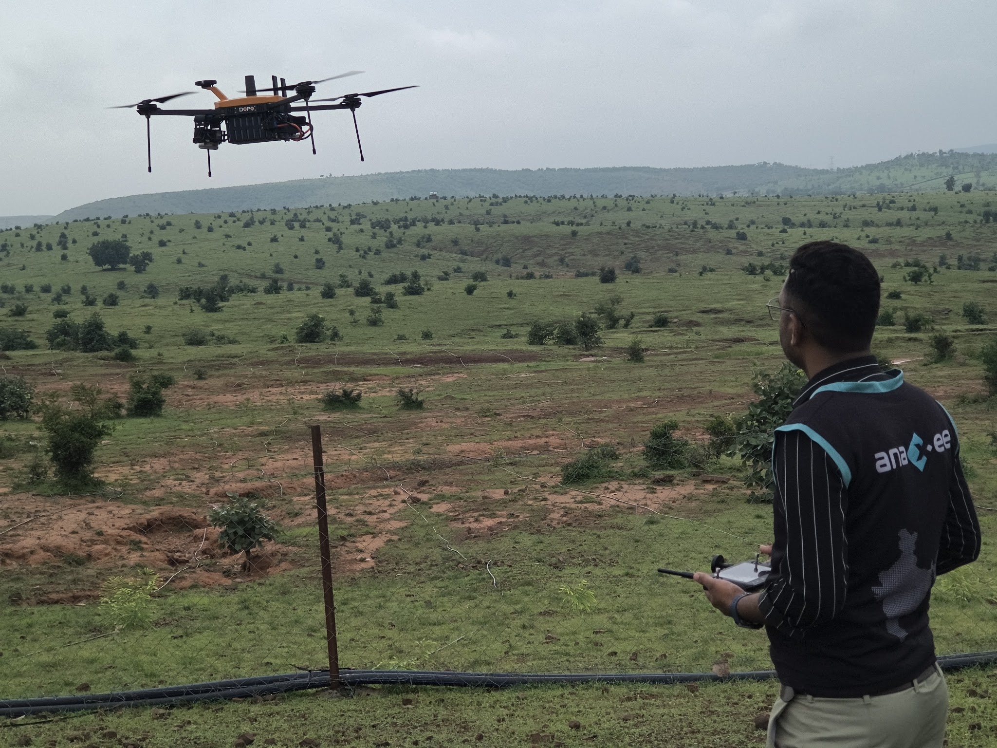
A drone flies the site and stitches the captures into a geo-referenced orthomosaic — a single, measurable aerial map. From it, trees can be counted, located and their canopy measured across the whole plot, not just a sample.
Ground-truth verification
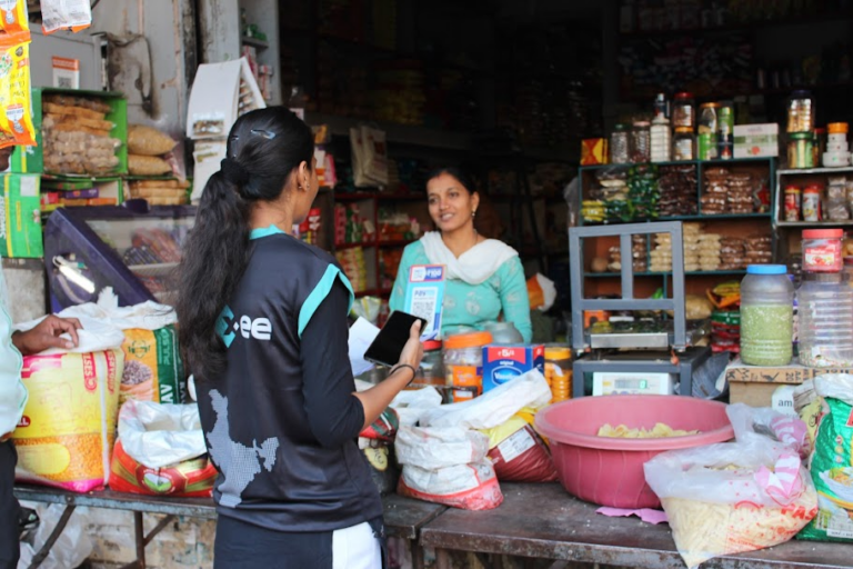
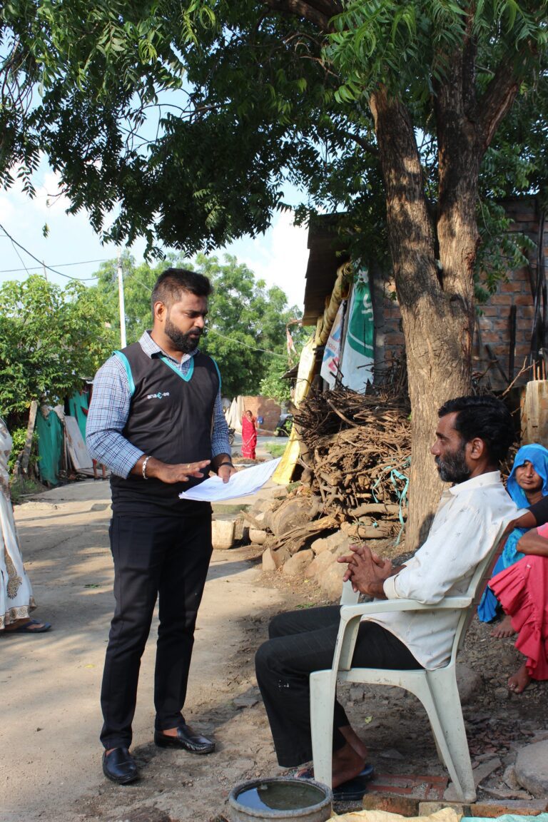
Field runners visit a statistically chosen sample and record each tree geo-tagged — species, survival, girth or diameter (DBH), and a photo. This is the on-ground reality that calibrates and validates what the aerial imagery sees.
Reconcile and flag
Aerial counts and ground samples are reconciled into one dataset, with discrepancies and anomalies flagged for re-check — so the final number is defensible and the method is transparent.
Repeat over time
Because every tree and plot is geo-located, the exact same site can be re-surveyed each season — turning a one-time count into a monitoring record that shows survival and growth, the way registries want to see it.
Where technology and AI change the game
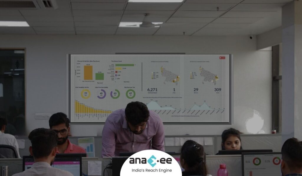
Anaxee runs this as a tech product. Drone imagery and geo-tagged ground captures flow into a live dashboard with every tree and plot located on a map. AI assists the aerial count and flags implausible or off-plot captures, while the ground-truth sample keeps the model honest — so a project gets a verified, auditable record rather than a spreadsheet nobody can check. It is the same digital-MRV logic now central to high-integrity carbon markets.
How Anaxee helps
Anaxee — India’s Reach Engine, a National Startup Award winner — runs field MRV and ground-truth verification through 40,000+ Digital Runners across 540 districts and 11,000+ pincodes, with geo-tagged tree monitoring, GPS plot mapping and DBH measurement on real afforestation and agroforestry sites. See our drone & survey services and how drone imaging brings transparency to climate & nature projects.
Proof — independent field verification at national scaleIndependent, geo-tagged field verification across all 26 states — for research, development and field-data clients. See all case studies →
What happens when you reach out to Anaxee
- Tell us the site — location, area and what you need counted or verified — by form, WhatsApp or a call.
- A real person calls back — our Indore team, within one working day.
- We scope a pilot — one site flown and ground-verified, so you see the method and the data quality before you scale.
A 150+ person team in Indore and 40,000+ Digital Runners on the ground — your enquiry reaches people who run field MRV every day, not an inbox that goes quiet.
Tell us about your site
Share the location and area — our team will get back within one working day.
Frequently asked questions
What is drone-based tree counting?
How is it more accurate than sampling?
What is ground truth, and why does it matter?
How do you verify survival over time?
Can you measure DBH and tree size?
Is this suitable for carbon registries and standards?
How large an area can you cover?
What does drone tree verification cost in India?
The bottom line
In carbon and afforestation, an unverifiable number is a liability, not an asset. Drone imaging counts and locates every tree; ground truth proves they are real, alive and growing; and because it is all geo-located, you can show it again next year. That is the difference between a project a buyer trusts and one they walk away from.
Talk to Anaxee — whichever way is easiest