BLOG
Drone Survey for Agriculture in India: Crop & Acreage Verification You Can See
 About Anaxee
40,000+ Digital Runners · 540 districts · 26 states · 11,000+ pincodes of reach
Indian agriculture is enormous and scattered. It supports close to half the country’s workforce across millions of small, fragmented plots — and for anyone who needs to know what is actually growing on those plots, the hard part is not reaching the farm. It is trusting the number that comes back.
An agri-input company wants to know a demo plot was really sown. A commodity buyer wants to verify the acreage behind its sourcing. A bank or insurer needs to confirm an area before it lends or settles a claim. A CSR or government programme has to prove the land it funded was actually planted. In every case the answer today usually arrives as a self-reported figure — and a figure on a form is exactly what is hardest to trust. A drone survey replaces reported acreage with measured acreage.
What a drone survey actually gives you in agriculture
Need to know what is really growing in the field?
Anaxee flies the site, builds the GPS-accurate map, verifies the crop on the ground, and delivers it as a live dashboard — across 540 districts.
Who uses drone surveys in agriculture
Why drone plus ground truth beats either alone
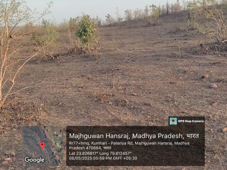
A mobile app with a geo-tagged photo is useful — but it only ever shows the spots a person physically stood on. Drone imaging shows the whole field, and the ground team then verifies the detail the air cannot resolve — which crop, which variety, its health and stage. Aerial coverage plus on-ground truth is far stronger proof than either on its own, and dramatically stronger than data captured on an app alone. That combination is exactly what Anaxee runs — and it is what lets a buyer or funder anywhere open a map and verify the field for themselves.
Where technology and AI change it
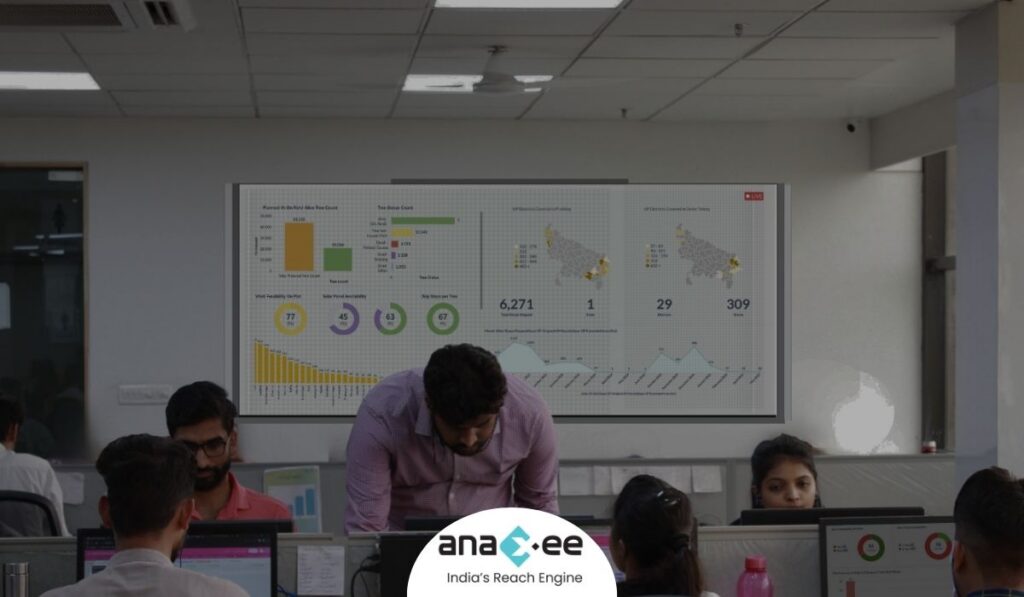
Anaxee delivers this as a tech product, not a pile of photos. The orthomosaic, the GPS boundaries and the geo-tagged ground captures all land on a live dashboard the client can open any time, from anywhere. AI assists the analysis — counting, classifying crops and trees, and flagging anomalies on the imagery — while the field team keeps it honest with ground truth. The result is a living, inspectable record of the field rather than a report that goes stale.
How Anaxee helps
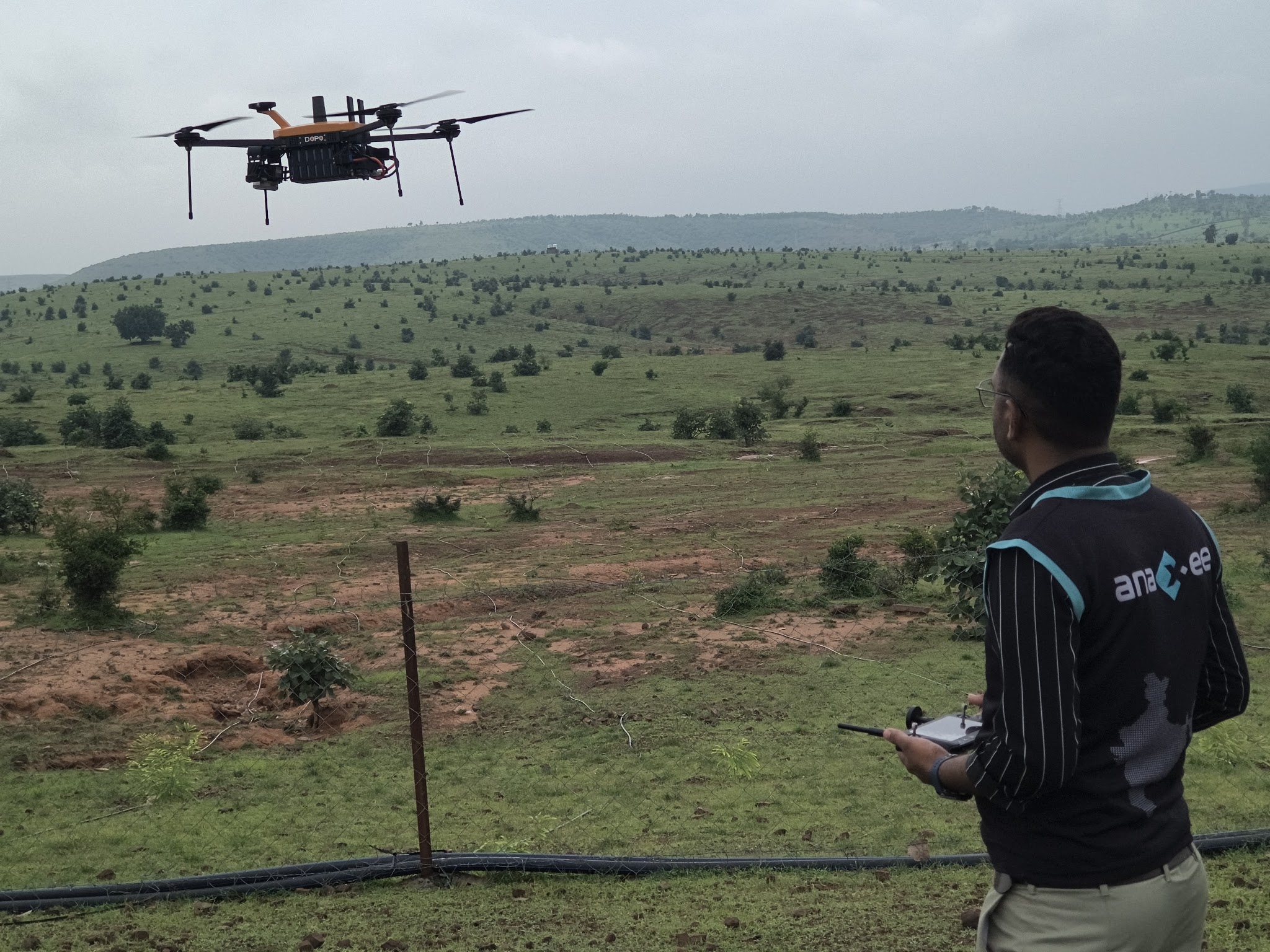
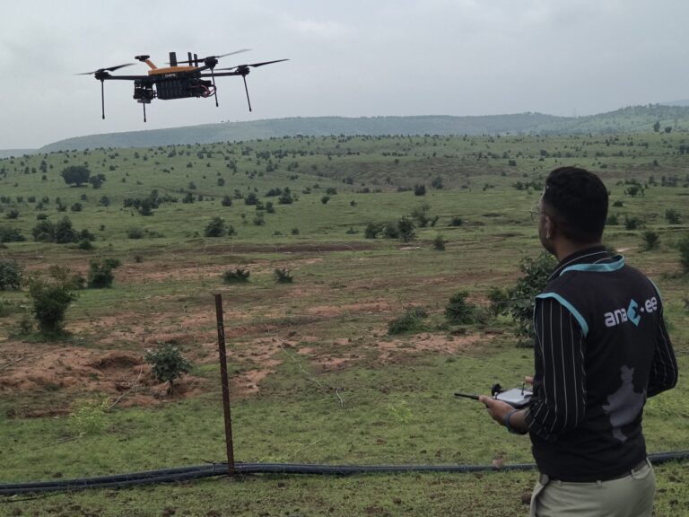
Anaxee — India’s Reach Engine, a National Startup Award winner — flies drones, builds GPS-accurate orthomosaics and verifies them on the ground through 40,000+ Digital Runners across 540 districts and 11,000+ pincodes, delivered as live dashboards. See our drone & survey services, how orthomosaic mapping makes a project verifiable from anywhere, and how it applies to tree counting and plantation verification.
Proof — mapping & independent field verification at scale2,000+ hectares mapped and independent, geo-tagged field verification delivered across all 26 states. See all case studies →
What happens when you reach out to Anaxee
- Tell us the site — location, area and what you need to prove — by form, WhatsApp or a call.
- A real person calls back — our Indore team, within one working day.
- We scope a pilot — one field flown, mapped and ground-verified, delivered as a dashboard you can open yourself.
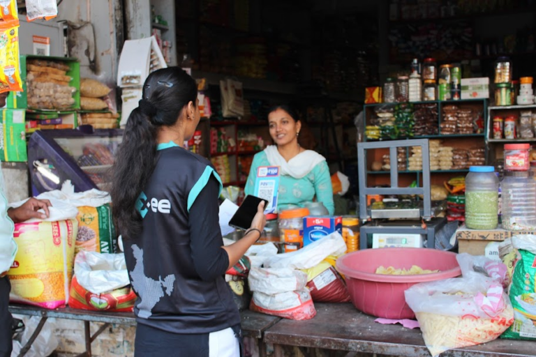
A 150+ person team in Indore and 40,000+ Digital Runners on the ground — your enquiry reaches people who fly and verify fields every day, not an inbox that goes quiet.
Tell us about your field
Share the location and area — our team will get back within one working day.
Frequently asked questions
What is a drone survey for agriculture?
How accurately can you measure acreage?
Can you tell which crop is actually growing?
Do you spray crops or supply inputs?
Can a company verify a field remotely?
How much area have you mapped?
What does a drone survey for agriculture cost in India?
The bottom line
In a sector this large and this fragmented, the scarcest thing is a number you can trust. A drone survey replaces a reported figure with a measured one: real acreage, the real crop, mapped to the coordinate and checked on the ground. Paired with Anaxee’s field network and delivered as a live dashboard, it gives agri-input companies, buyers, lenders and programmes something a form never could — the ability to see the field for themselves.
Talk to Anaxee — whichever way is easiest