BLOG
Drone Survey Cost in India: What Actually Drives the Price
 About Anaxee
40,000+ Digital Runners · 540 districts · 26 states · 11,000+ pincodes of reach
“How much does a drone survey cost?” is the first question every buyer asks, and the honest answer frustrates people: it depends. Not because vendors are being evasive, but because a drone survey is not one product. Mapping ten hectares of flat farmland for a crop-health view and surveying a hilly 500-hectare site to centimetre accuracy for land records are both “drone surveys,” and they cost nothing like each other.
So instead of a fake number, here is what actually moves the price – the handful of factors that decide your quote, the ways drone work is usually priced, and why a small pilot is the smart way to buy.
What drives the cost
How drone work is usually priced
Vendors structure quotes in one of three ways, depending on the job. Knowing which fits yours helps you compare offers honestly.
Per area
Per acre / hectare
Common for mapping and agriculture. Simple to compare and scales with the job – but watch the minimums and what deliverable the rate includes.
Best when
The area is the main variable and the output is standard.
Per day
Day rate for crew + drone
Used for mixed or hard-to-estimate jobs. You pay for field time; efficient sites cost less, tricky ones more.
Best when
Scope is uncertain or the work is varied across a site.
Per project
Fixed scope & outcome
A single price for a defined deliverable across defined sites. Predictable – provided the scope is pinned down first.
Best when
You want budget certainty and the scope is clear.
Why no honest vendor quotes a flat rate sight-unseen
If a provider gives you a firm number before asking about your area, accuracy, sensor and deliverable, treat it as a red flag, not a bargain – they are either padding to cover the unknowns or planning to re-quote once the real scope appears. A proper quote follows a short scoping conversation: what, where, how accurate, what output. That is not a stalling tactic; it is the difference between a price that holds and a surprise invoice.
The smart way to buy: a paid pilot
Rather than negotiating a large programme blind, run a small paid pilot on one representative site. You see the real deliverable, the accuracy and the dashboard; the vendor learns your actual conditions; and the full quote is then grounded in evidence instead of guesswork. It de-risks the spend for both sides and almost always pays for itself in a cleaner, right-sized programme. It is how Anaxee prefers to start drone survey work.
Want a real quote, not a guess?
Tell us the area, the accuracy and the deliverable, and we’ll scope it – with a small paid pilot across 540 districts so the full price is grounded in your actual site.
Where technology and AI change the value
Price is only half the equation – value is the other. The same flight becomes far more useful when AI does the heavy lifting on the output: counting trees and assets automatically, classifying crop health, detecting change between flights, and flagging anomalies for a ground check. Pair that with ground verification on a live dashboard, and a drone survey stops being a one-off map you paid for and becomes a verified, inspectable record you can act on. That is where the real return on the spend sits.
How Anaxee helps
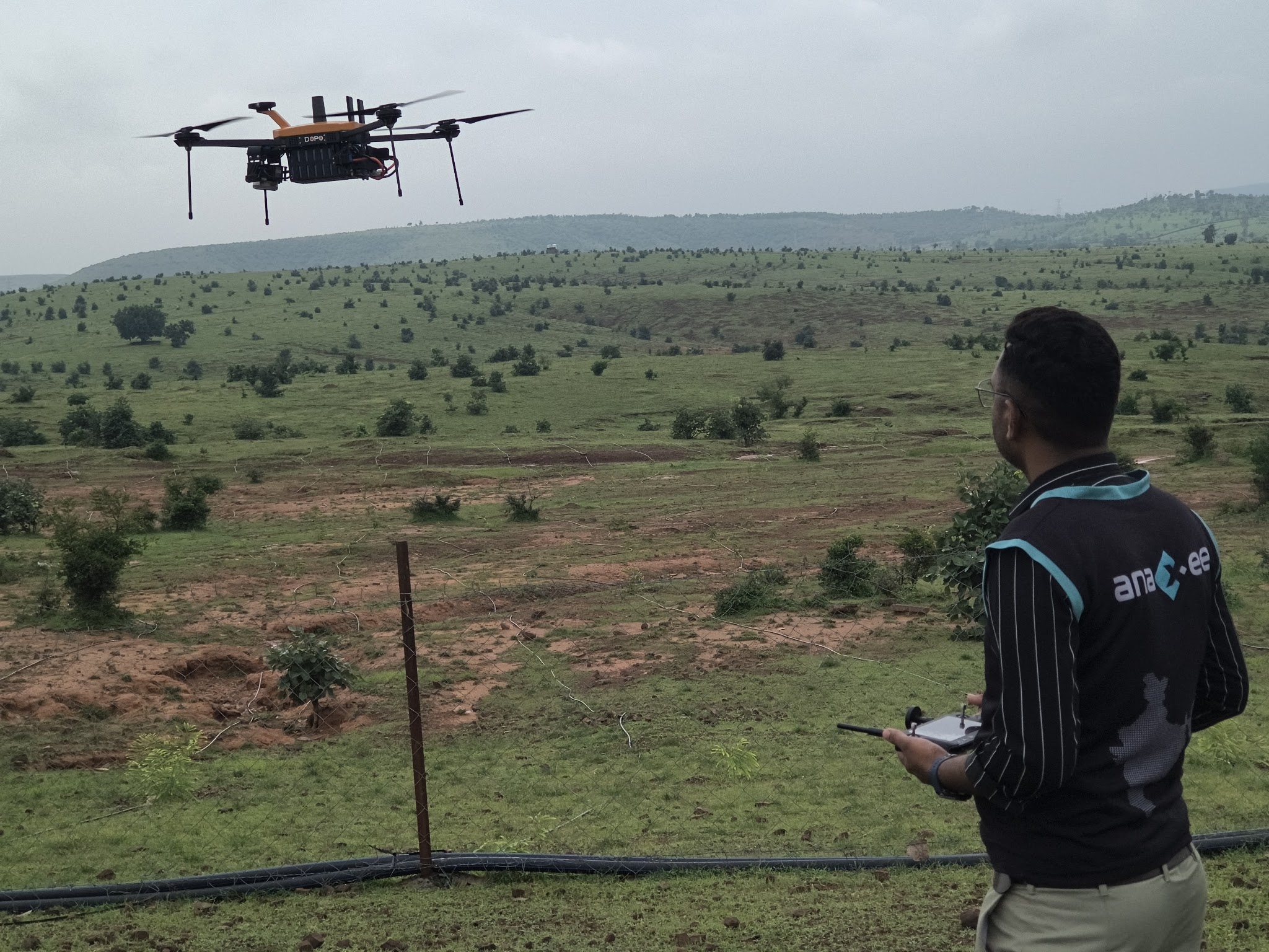
Anaxee – India’s Reach Engine, a National Startup Award winner – runs drone mapping and survey services with transparent, scope-based pricing and a small-pilot-first approach: drone surveys for agriculture, tree counting and plantation verification, land and asset mapping – each flight backed by 40,000+ Digital Runners across 540 districts for the ground truth. You get a quote that reflects your actual job, and a deliverable you can verify.
Proof – aerial + ground verification at scaleDrones for the aerial view, Digital Runners for the ground truth – priced on the real job. See all case studies →
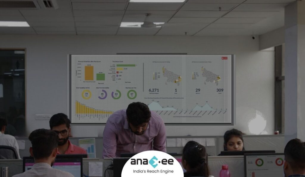
What happens when you reach out to Anaxee
- Tell us the site – area, accuracy and the deliverable you need – by form, WhatsApp or a call.
- A real person calls back – our Indore team, within one working day, with a scoped estimate.
- We run a small paid pilot – one site, the real deliverable on a dashboard, before you commit to the full programme.
A 150+ person team in Indore and 40,000+ Digital Runners on the ground – a scoped quote and a pilot, not a number pulled from the air.
Tell us about your drone survey
Share the area and what you need measured – our team will scope it and get back within one working day.
Frequently asked questions
What does a drone survey cost in India?
Is it priced per acre or per project?
Is a drone survey cheaper than a ground survey?
What makes a drone survey expensive?
Can I start with a pilot?
Does the price include ground verification?
The bottom line
A drone survey has no sticker price because it is not one product – it is a flight, a deliverable and, often, a ground check, each priced on your actual job. Ignore anyone who quotes before they understand your site. Pin down the area, accuracy, sensor and output; pick the pricing model that fits; and start with a small pilot. Do that, and you pay for exactly the survey you need – no more, and no less.
Talk to Anaxee – whichever way is easiest