BLOG
Drone Surveys in India: What They Map, the Rules, and When to Add Ground-Truth
 About Anaxee
40,000+ Digital Runners · 540 districts · 26 states · 11,000+ pincodes of reach
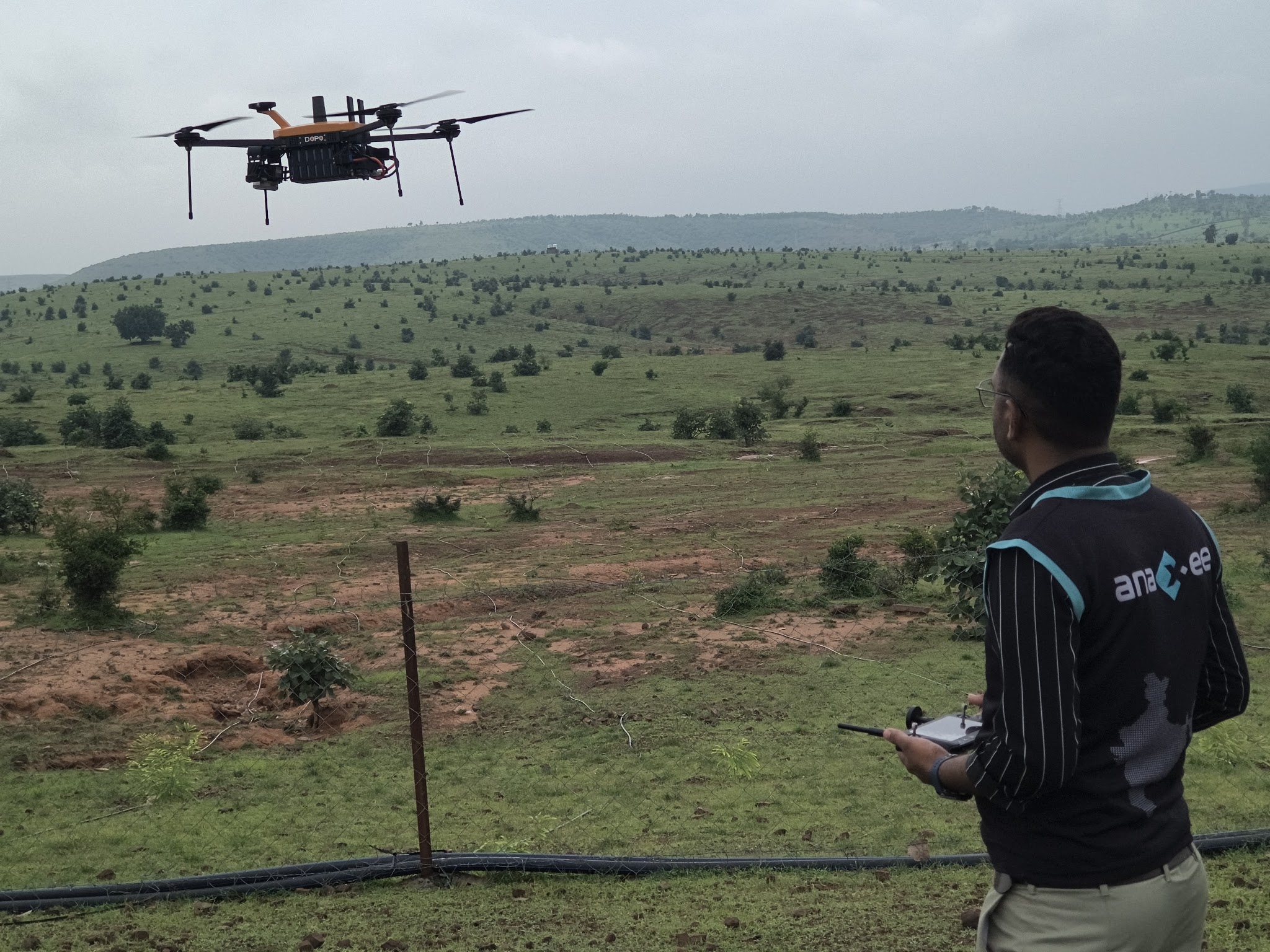
Drones have quietly become one of the most useful tools in Indian fieldwork. In an afternoon a drone can map a few hundred hectares, count every tree in a plantation, read crop stress across a cluster of villages, or build a 3D model of a site – work that used to take a team weeks on foot. The technology is mature, the rules now allow it, and the cost keeps falling.
But a drone is a camera in the sky, and a camera has limits. It sees the surface, not the story: it cannot tell you who owns the plot, whether the asset actually works, or what the farmer says happened. This guide explains what a drone survey captures, the regulatory basics in India, where it shines, and why the best results come from pairing the aerial view with people on the ground.
What a drone survey actually captures
“Drone survey” covers several different outputs depending on the sensor and the flight – but in India most commercial work falls into three buckets.
Land & GIS mapping
Measure the ground from above
Orthomosaic maps, boundaries, contours, volumes and 3D terrain models – for land records, infrastructure, mining, solar and site planning.
Output
Centimetre-level maps and volumetrics you can measure on.
Agriculture
See the crop, not a sample
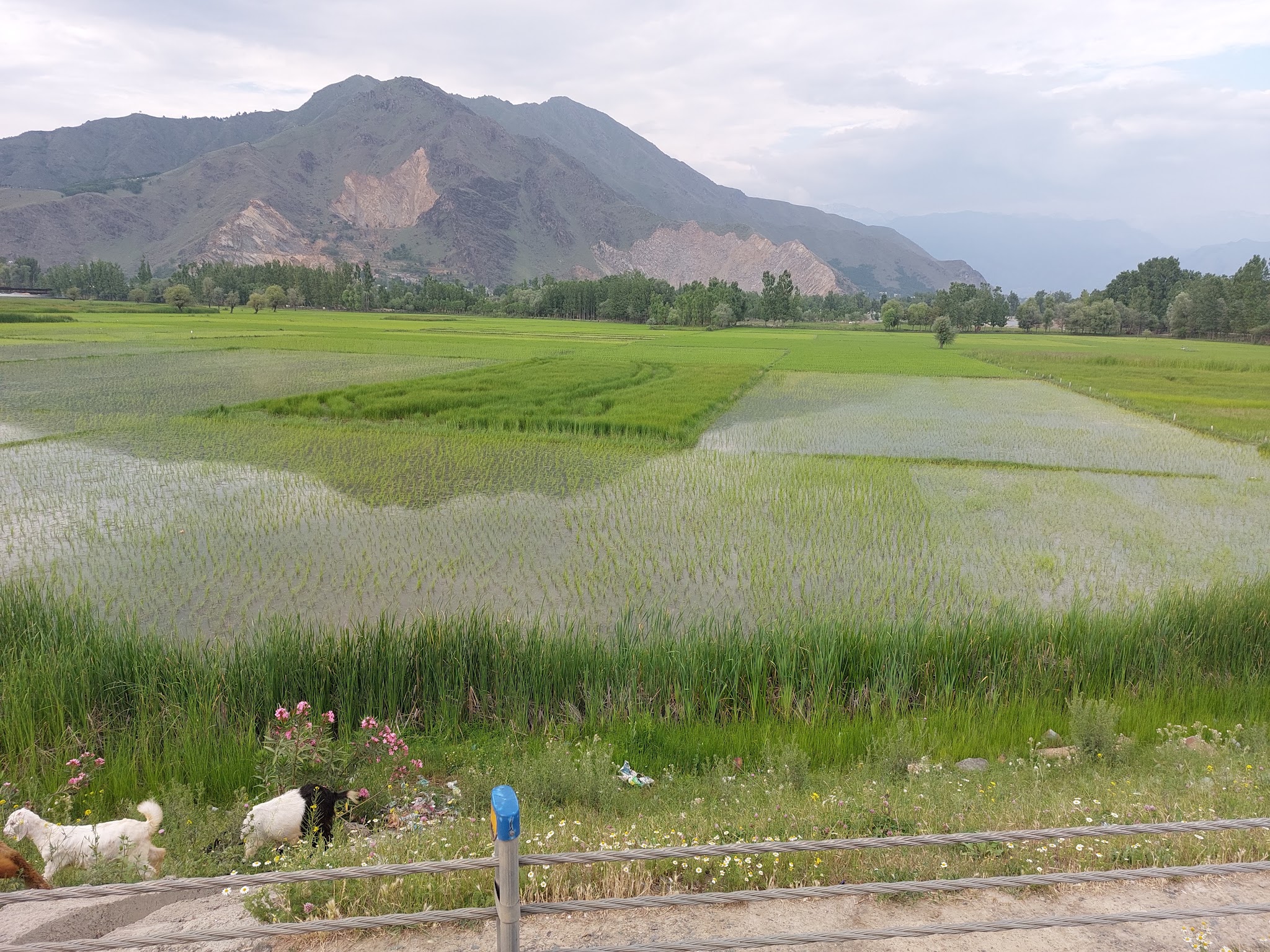
Crop-health and vegetation imagery, acreage and sowing checks, and damage assessment across whole clusters of fields at once.
Output
Field-level crop status over a wide area, fast.
Plantation & assets
Count what is there
Tree counts and plantation extent (every tree as a geo-fenced polygon with species, height and survival), rooftop and solar-site surveys, and condition views of assets across a geography.
Output
Objective counts and an aerial record, plot by plot.
The rules, in brief
Commercial drone surveys in India operate under the Drone Rules, 2021 and the DGCA’s Digital Sky framework – which liberalised and simplified drone use, with airspace zones (green / yellow / red), drone registration, and remote-pilot certification. For most survey work the practical implication is simple: it needs a registered drone, a certified pilot, and awareness of the airspace zone. A capable field partner handles that layer for you, so the regulation is a checklist, not a blocker. (This is a general overview, not legal or regulatory advice – confirm current requirements for your specific site.)
When a drone survey is the right tool
What a drone still cannot do
The aerial view is powerful and partial. A drone can count trees but cannot confirm the species was planted as promised or that it is alive at the root; it can map a plot but cannot tell you whose it is or whether the family actually lives there; it can show a solar array but cannot verify it is connected and working. Identity, condition, ownership, intent, a conversation with the person – none of that is visible from the air. That is not a flaw in drones; it is the boundary of what any remote sensor can do. Cross that boundary and you need a human on the plot.
The real answer: fly the drone, send the Runner
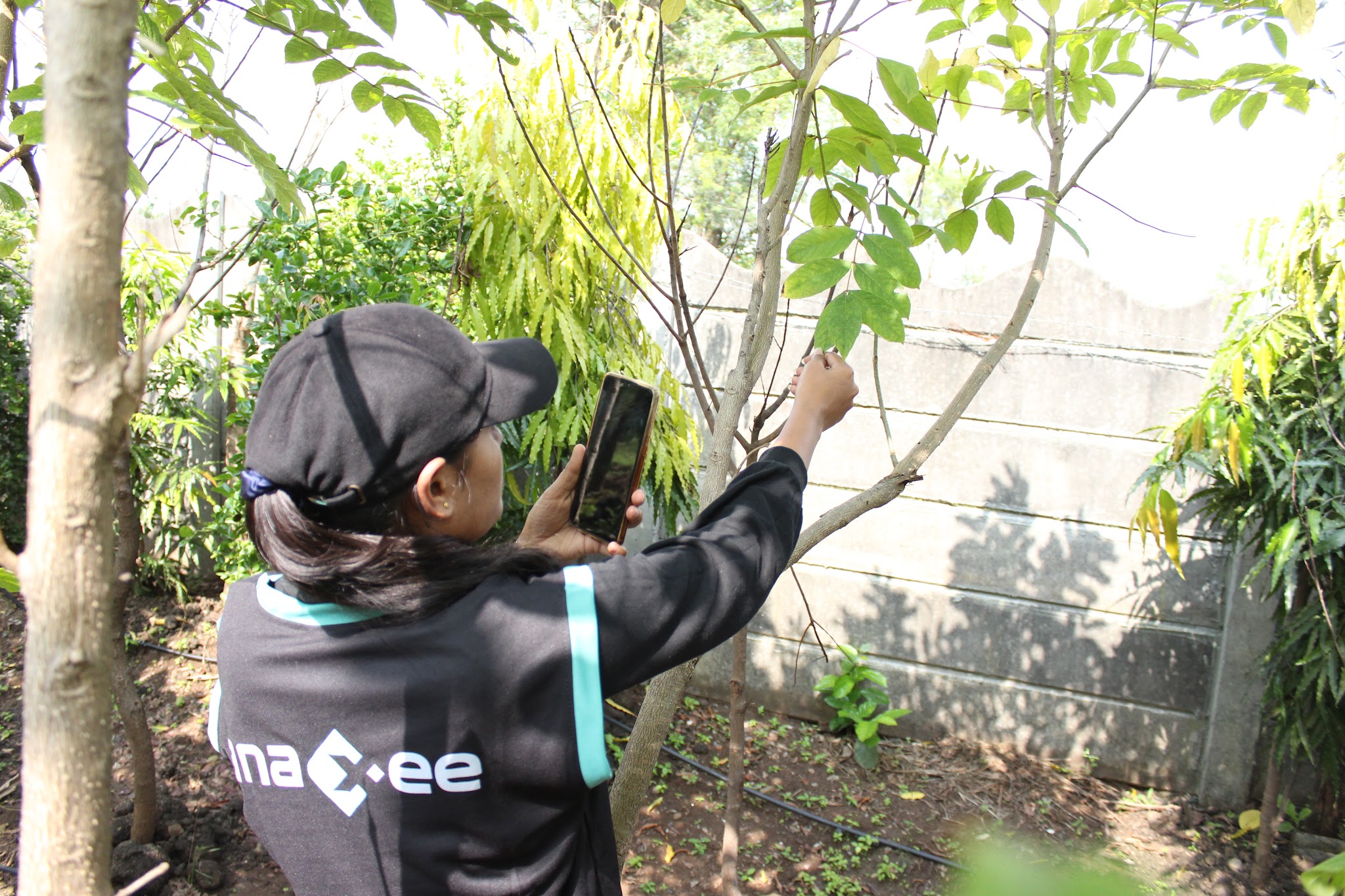
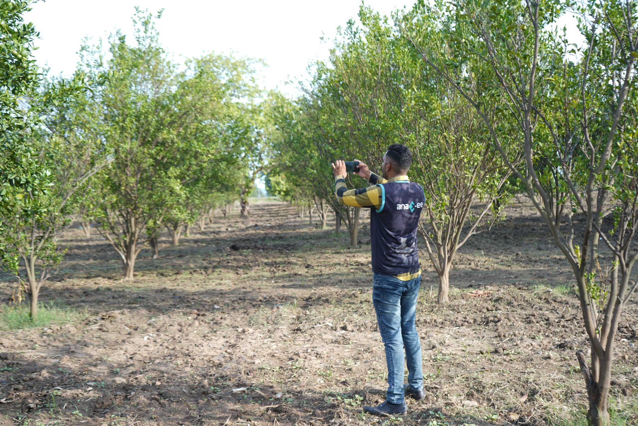
The strongest field programmes treat drones and people as one system. The drone covers the whole area and does the measuring – maps, counts, crop health; the ground team verifies a sample and everything the aerial view flags as odd, and captures what only a person can – identity, condition, the interview. AI stitches the two together, reconciling the aerial data with the ground record and flagging the gaps. Most vendors offer one or the other. A partner that runs drone surveys and a 540-district ground network can do both, on one dashboard – which is how you get coverage and proof, not just pictures.
On a large-scale plantation or forestry project, for example, Anaxee stitches the drone imagery into an orthomosaic, maps every plot and tree as a geo-fenced polygon – with its species, height, planting year and survival status – and then overlays Digital-Runner ground surveys to validate stocking density, tree mortality and canopy health. That ground-air integration is what gives plantation data MRV-grade accuracy, and it all lands on a live dashboard you can inspect plot by plot.
Need an aerial survey – with the ground truth to back it?
Anaxee flies drone surveys and verifies them on the ground across 540 districts, on a live dashboard. Tell us the site and we’ll scope the flight plus the field check.
Where technology and AI change it
A drone survey is only as useful as what happens to the data after it lands. The flight produces imagery; AI turns it into answers – classifying crop health, counting trees and assets automatically, detecting change between flights, and flagging anomalies for a ground check. The aerial layer and the ground-verification layer flow into one live dashboard, each record geo-located, so you can open any plot and see both the map and the person’s report side by side. That combination – aerial measurement plus verified ground truth plus AI reconciliation – is what makes a drone survey something you can defend, not just display.
How Anaxee helps
Anaxee – India’s Reach Engine, a National Startup Award winner – runs drone mapping and survey services paired with ground verification: drone surveys for agriculture, tree counting and plantation verification, land and asset mapping, and CSR plantation geotagging – all feeding carbon and CSR MRV. Wondering about budget? See what a drone survey costs in India. Every flight is backed by 40,000+ Digital Runners across 540 districts and 11,000+ pincodes, so the aerial survey always has boots on the ground behind it.
Proof – aerial + ground verification at scaleDrones for the aerial view, Digital Runners for the ground truth – one verified record. See all case studies →
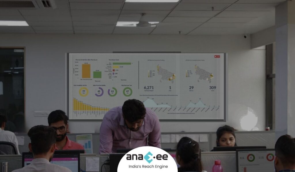
What happens when you reach out to Anaxee
- Tell us the site – the area, the geography and what you need measured or verified – by form, WhatsApp or a call.
- A real person calls back – our Indore team, within one working day.
- We scope the flight + the field check – sensors, a geo-tagged pilot and QA, on a dashboard you can open yourself.
A 150+ person team in Indore and 40,000+ Digital Runners on the ground – aerial and field under one roof, not an inbox that goes quiet.
Tell us about your drone survey
Share the site and what you need measured – our team will get back within one working day.
Frequently asked questions
What can a drone survey measure?
Do you need a licence to fly a drone survey in India?
Can a drone survey replace ground survey entirely?
How accurate are drone maps?
What industries use drone surveys most?
Does Anaxee do both the drone and the ground work?
The bottom line
A drone survey is the fastest way to measure a large area in India, and the rules now make it routine. But a drone sees the surface, not the truth underneath it. Use it for scale, measurement and repeatable aerial records – and pair it with people on the ground for identity, condition and anything that must be verified. Fly the drone and send the Runner, and you get a survey that is both wide and real.
Talk to Anaxee – whichever way is easiest