 About Anaxee
40,000+ Digital Runners · 540 districts · 26 states · 11,000+ pincodes of reach
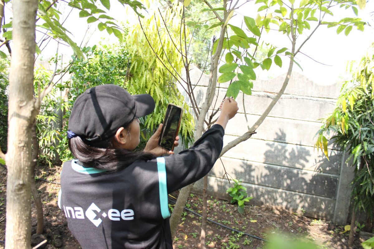
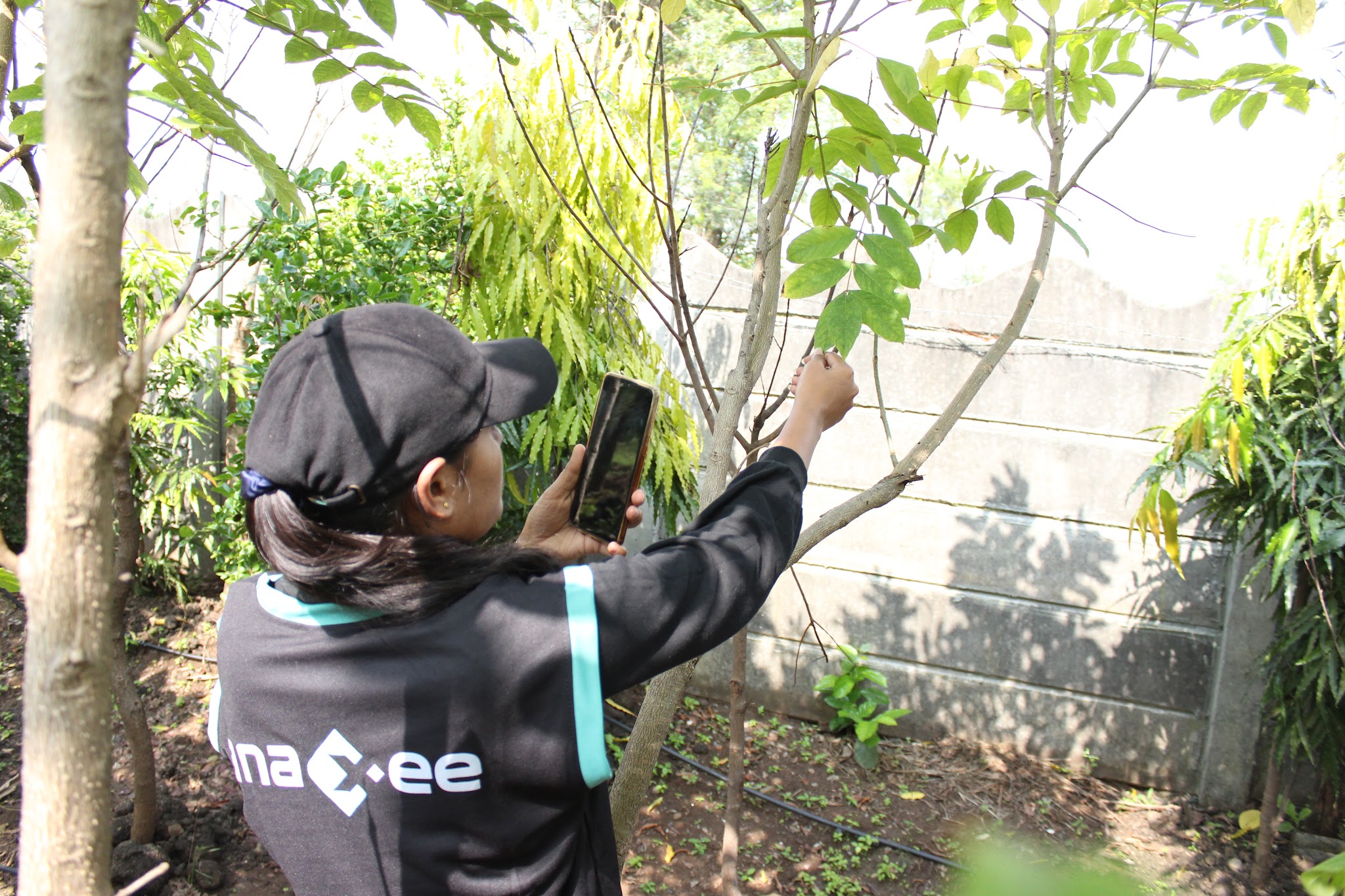
Counting trees sounds simple until you have to do it across a whole city. A tree census means visiting every tree in the area, fixing it to a GPS point, giving it a unique number, identifying the species, measuring its girth, height and canopy, judging its health, and loading all of it onto a map that an official, an auditor or the public can open. Do it by hand and it is slow, patchy and impossible to re-check. Do it with software but no people and you get estimates, not a census.
That is the gap Anaxee fills. We are a technology company with our own nationwide field network — so a tree census gets the app, the people, the drones where they help, the quality control and the data management from a single partner, whether you are a municipal corporation counting under the Tree Act, a forest department mapping green cover, a company auditing a CSR plantation, or an estate or campus that simply needs to know what it has.
What a tree census records, tree by tree
Planning a tree census or tree count?
Tell us the area — a city, a ward, a campus or a plantation — and Anaxee will scope it: the method, the data you get, and a pilot you can see before you scale.
Tool-only, agency-only — or all of it
Most tree-counting vendors are one of two things. Remote-sensing tools read satellite or drone imagery with AI and hand you an estimate and a GIS file — fast, but with no one on the ground to identify a species under the canopy or satisfy a census that needs a human at every tree. Traditional agencies send field teams and a basic app, but reach is shallow outside the metros and the quality layer is thin.
Anaxee gives you every layer — and you can take the whole stack or just the piece you are missing.
The software & app
Our tree-census app and GIS dashboard — geo-tag, unique ID, species, measurements and photo per tree, with ward and species roll-ups. White-labelled where you need it.
The people
40,000+ Digital Runners across 540 districts and 11,000+ pincodes — trained to the census form, so you count every tree, not a sample, anywhere in India.
Drones, where they help
Aerial orthomosaics for canopy and whole-site counts that cross-check the ground data — see our drone & survey services.
AI + human quality check
AI reads every photo and flags duplicates, impossible locations and visits that never happened; a human QA team validates before anything is final.
Dashboards & templates
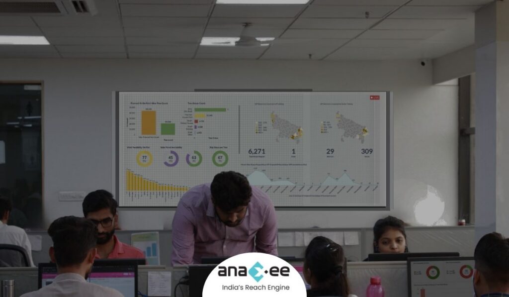
A live census dashboard and downloadable templates — species lists, ward summaries, biodiversity registers — exported the way your report needs them.
Back-office & data management
Cleaning, de-duplication, species reconciliation, reporting and ongoing data management — the desk work that turns raw field capture into a census you can defend.
Get the free Tree Census RFP & Scope Checklist
A 2-page worksheet to scope a tree census, write a tender, and compare vendors on what actually decides data quality. Emailed to you in 20 seconds.
Where technology and AI change the game
Every tree is captured on the Anaxee Partner app — 100,000+ downloads, with an in-built training module per form — so each record arrives geo-tagged and time-stamped with a photo, flowing straight to a live dashboard and REST API. Then AI reads the field photos: it flags a tree photographed twice, a location that is physically impossible, or a run of captures logged too fast to be real — and a human QA team checks the flags before the count is signed off. That is how a census of hundreds of thousands of trees stays honest. It is the same quality layer Anaxee runs on drone-plus-ground-truth tree counting for carbon and plantation projects.
Who a tree census is for
- Municipal corporations & councils — a GIS tree census under the Tree Act, with a unique ID per tree, a biodiversity register and a public dashboard.
- Forest & environment departments and Smart Cities — green-cover assessment and tree inventory across one city or many at once.
- Companies & CSR teams — counting and verifying a CSR plantation’s survival, or an estate’s green assets, for BRSR and sustainability reporting.
- Infrastructure, real estate & industry — tree enumeration for environmental clearance, transplantation planning and compliance.
- Campuses, estates & gated communities — a one-time inventory of what you have, mapped and measured.
Proof — independent field verification at national scaleIndependent, geo-tagged field verification delivered across all 26 states, with drone mapping and on-ground truth. See all case studies →
What happens when you reach out to Anaxee
- Tell us the area — the city, ward, campus or plantation, and what you need counted and recorded — by form, WhatsApp or a call.
- A real person calls back — our Indore team, within one working day.
- We scope a pilot — one ward or site counted and verified, so you see the method, the app and the data quality before you commit to the full census.
A 150+ person team in Indore and 40,000+ Digital Runners on the ground — your enquiry reaches people who run field data collection every day, not an inbox that goes quiet.
Tell us about your tree census
Share the area and what you need counted — our team will get back within one working day.
Frequently asked questions
What is a tree census?
Does Anaxee provide the tree census software, or the whole service?
How is this different from a satellite or drone tree count?
Can you count trees for a municipal or Tree Act census?
What does a tree census cost in India?
How large an area can you cover?
How do you make sure the count is accurate and not faked?
Can you verify a CSR plantation’s tree count and survival?
Run your tree census with Anaxee
Anaxee scopes, staffs, runs and verifies tree counts and tree censuses end to end across India — or supplies any single layer you need. It is part of our wider drone & survey and field-data work: see how we do drone-plus-ground-truth tree counting, CSR plantation geotagging & survival verification, and carbon project MRV.
Need a tree census run end to end? Anaxee will do it.