BLOG
CSR Plantation Geotagging & Tree-Survival Verification in India
 About Anaxee
40,000+ Digital Runners · 540 districts · 26 states · 11,000+ pincodes of reach
A plantation is the easiest CSR number to announce and the hardest to prove. The cheque clears, the saplings go in, a photo of planting day goes into the report — and then nobody goes back. Eighteen months later, the question a board or an auditor actually asks is the one no one can answer: how many of those trees are still alive?
Because a tree is only a carbon or CSR asset if it survives. Planting is an event; survival is the outcome — and survival is a field exercise. Anaxee geotags every tree or plot and returns to verify it on the ground, so your plantation stops being a claim and becomes dated, mapped, defensible evidence.
What plantation geotagging & survival verification covers
Why ‘trees planted’ isn’t proof
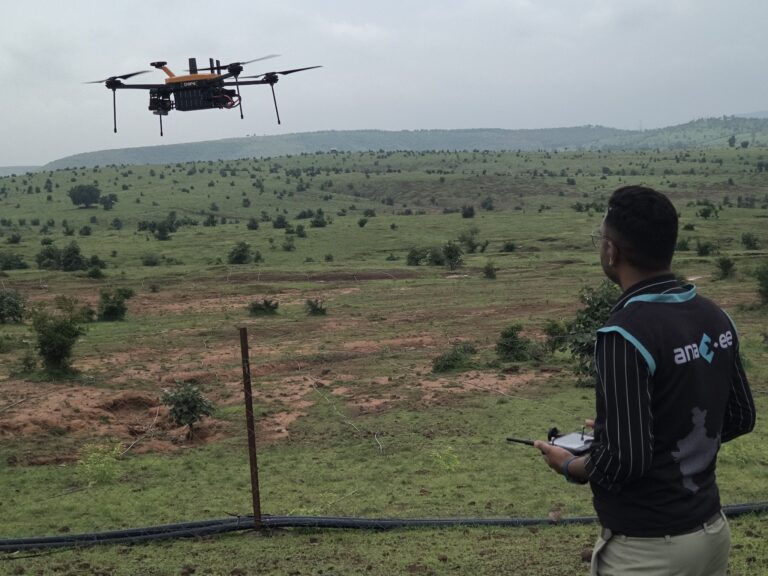
The number that gets reported is trees planted. The number that matters is trees surviving — and the two can diverge sharply, because a sapling in the dry season, grazed or never watered quietly dies long before anyone checks. Survival is the step most plantation programmes skip, which is exactly why a board, a donor or a BRSR assurance provider increasingly wants independent, geo-tagged survival evidence rather than a planting-day photo. This pairs with aerial drone tree counting — count from the air, confirm survival on the ground.
Need to prove your plantation survived — not just that it was planted?
Anaxee geotags and re-verifies plantations on the ground across 540 districts — GPS, dated photos, survival rates, on a dashboard you can open yourself. See our drone & field verification services.
How Anaxee runs it
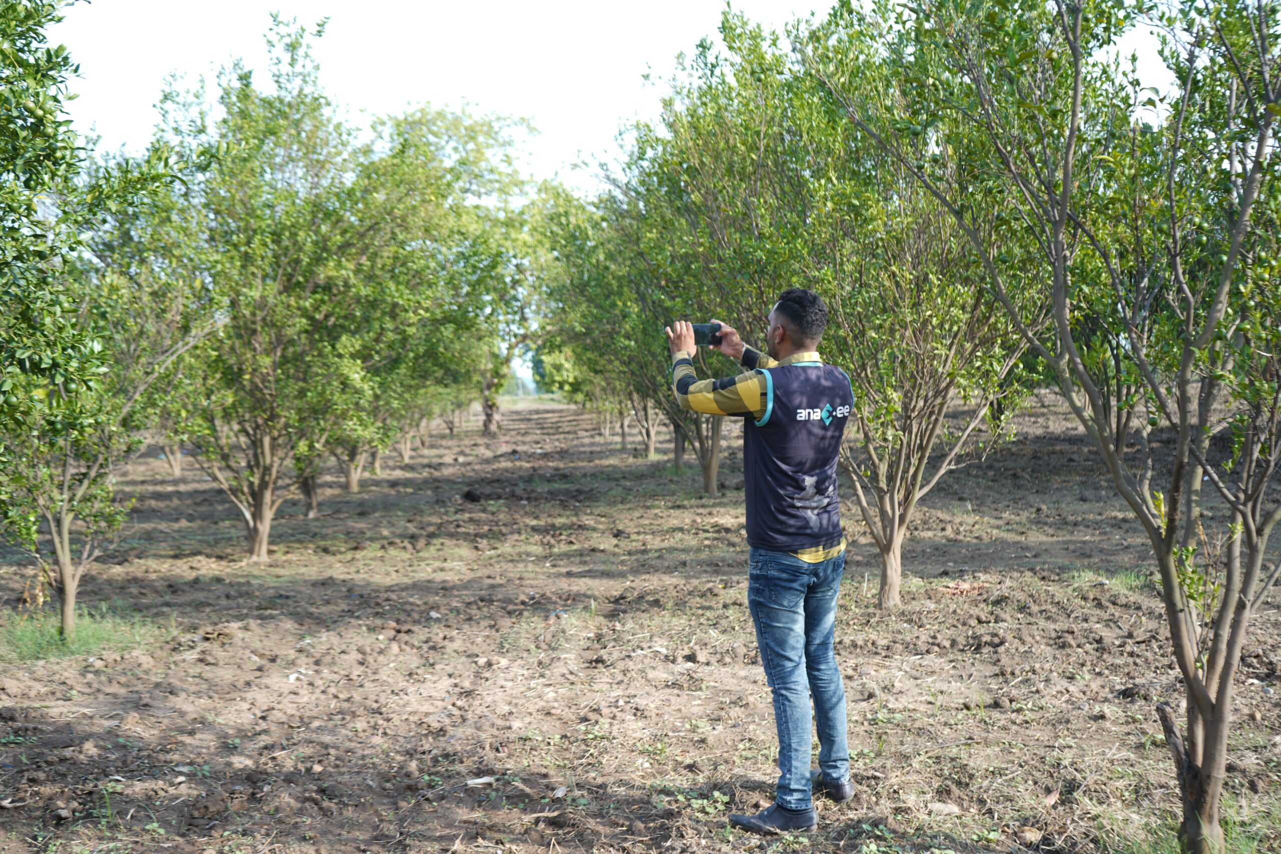
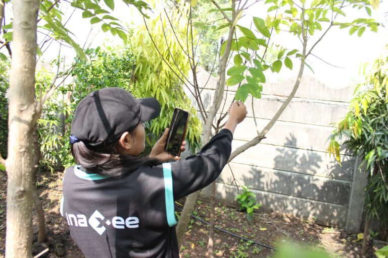
Anaxee reaches exactly where plantations go in — rural and small-town India — so there is already a trained, local Digital Runner near almost every site. At planting, each tree or plot is geo-tagged with GPS and a dated photo; on a schedule, the same sites are re-visited to confirm survival, with a fresh photo at the same point. A sample is back-checked, the AI validates the photos, and everything lands on a live dashboard with every pin on a map. It pairs with drone tree counting for aerial scale and with carbon project verification where the plantation feeds a credit.
Where technology and AI change it
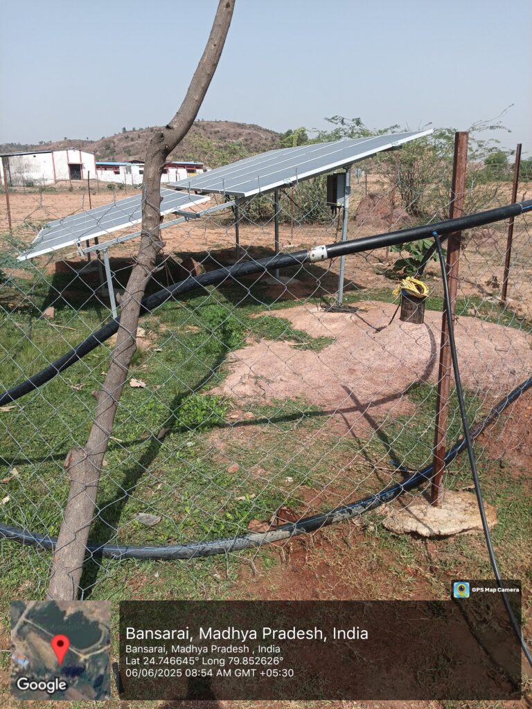
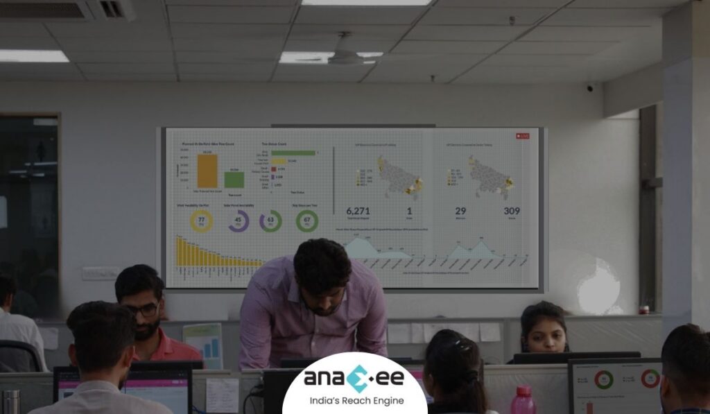
A GPS pin and a timestamp turn a sapling into a trackable asset — the same point, re-photographed over time, shows survival rather than just planting. The AI reads the photos, confirms a living tree, and flags the suspect records — duplicate images, impossible locations, visits that never happened. Every pin sits on a satellite map, so a CSR team, an auditor or a funder can open the dashboard and verify the plantation themselves, tree by tree, instead of taking a report on trust.
How Anaxee helps
Anaxee — India’s Reach Engine, a National Startup Award winner — runs independent plantation geotagging and field verification through 40,000+ Digital Runners across 540 districts and 11,000+ pincodes, every record geo-tagged and on a live dashboard. See our drone tree counting, carbon project verification and CSR project verification.
Proof — plantation & field verification at scaleGeo-tagged, independently verified field data across all 26 states. See all case studies →
What happens when you reach out to Anaxee
- Tell us the plantation — the locations, the number of trees and the survival rounds you need — by form, WhatsApp or a call.
- A real person calls back — our Indore team, within one working day.
- We scope a pilot — geotag and a first survival round in one cluster, delivered as a map dashboard you can open yourself.
A 150+ person team in Indore and 40,000+ Digital Runners on the ground — your enquiry reaches people who verify field work every day, not an inbox that goes quiet.
Tell us about your plantation
Share the locations and number of trees — our team will get back within one working day.
Frequently asked questions
What is plantation geotagging?
What is tree-survival verification?
Why isn’t ‘number of trees planted’ enough?
How often do you verify survival?
How does this help BRSR or CSR reporting?
Can you combine drone counting with ground geotagging?
How many trees can you cover, and what does it cost?
The bottom line
Planting a tree is a photo; proving it survived is a field exercise. Anaxee geotags every tree, returns to verify it is alive, and puts every pin on a map you can open — so your plantation becomes evidence a board, an auditor or a funder can trust, not a number they have to take on faith.
Talk to Anaxee — whichever way is easiest