BLOG
What Is a Tree Census? How Cities and Companies Count Every Tree in India

 About Anaxee
40,000+ Digital Runners · 540 districts · 26 states · 11,000+ pincodes of reach
Most people have never thought about how a city knows how many trees it has. The answer, increasingly, is a tree census — and it is a far bigger exercise than counting trees in a park. When a municipal corporation says a city has four million trees, or a company reports that its CSR plantation holds 50,000 saplings, that number came from somewhere. If it is credible, it came from a census: a structured, tree-by-tree count where every tree was found, located, identified and recorded.
This guide explains what a tree census actually is, what gets recorded for each tree, how one is carried out in India, and why cities and companies are moving from rough estimates to full, geo-tagged counts.
What is a tree census?
A tree census is a 100% count of the trees in a defined boundary. Every tree is physically visited, fixed to a GPS coordinate, given a unique identification number, and described by a set of attributes — its species, size, age and health. All of it is loaded onto a map, so the result is not just a total but a living, searchable record of where each tree stands and what condition it is in.
The word “census” is deliberate. A survey samples — it counts a few representative plots and extrapolates across the whole area. A census counts everything. For a street, a sample is fine. For a legal count under a Tree Act, a biodiversity register, or a green-cover figure a city will defend in public, only a census will do, because the moment anyone asks “show me the trees you didn’t count,” a sample has no answer.
What gets recorded for each tree
A tree census is only as useful as the data it captures per tree. A standard Indian municipal or institutional census records most of the following:
Planning a tree census for a city, campus or plantation?
See how Anaxee runs a tree census and tree counting end to end — app, field teams, drones, AI quality-check and the data management — or talk it through with our team.
How a tree census is done in India
A modern Indian tree census is a GIS and GPS exercise, run in a clear sequence:
1. Scope and boundary
The area is defined — a city, a set of wards, a campus or a plantation — and the attributes to be recorded are fixed, usually against a Tree Act requirement or a reporting standard. A rough tree estimate sets the budget, because census work is priced per tree.
2. Field enumeration
Trained enumerators walk the area, tree by tree. On a mobile app, each tree is geo-tagged, given its unique ID, identified by species, measured for girth, height and canopy, assessed for health, and photographed. Trees that can’t be identified on the spot are photographed for an expert to confirm.
3. Drone cross-check, where it helps
For large or open areas, drones add an aerial layer — an orthomosaic that counts canopy and whole-site totals to cross-check the ground count. Aerial imaging is powerful for scale, but it cannot identify a species under a canopy or read a tree’s health, so it supports the ground census rather than replacing it.
4. Quality control and data management
Records are checked for duplicates, impossible locations and visits that don’t add up; species names are reconciled; and the clean data is loaded onto a GIS dashboard with ward and species roll-ups, plus a biodiversity register.
5. Re-survey over time
Because every tree is geo-located, the same area can be counted again in the next cycle and compared — so a city can measure how its green cover is actually changing, not guess.
Where technology and AI change the game
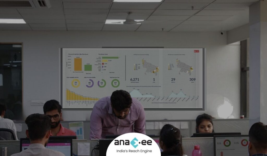
The old way — clipboards and spreadsheets — produced a number nobody could verify. A modern census runs on an app, so every tree arrives geo-tagged and time-stamped with a photo, flowing to a live dashboard. Then AI reads the field photos and flags the suspect records — a tree photographed twice, a location that is physically impossible, a run of captures logged too fast to be real — before a human quality-control team signs off. That is how a count of hundreds of thousands of trees stays honest and auditable. It is the same digital method now used in carbon project verification and drone-plus-ground-truth tree counting.
Who needs a tree census — and why
- Cities and municipal corporations — a legal count under the Tree Act, a biodiversity register, and a baseline for green-cover planning and tree-felling permissions.
- Companies and CSR teams — counting and verifying a plantation’s survival for BRSR and sustainability reporting, where “trees planted” must become “trees proven alive.”
- Infrastructure and real estate — tree enumeration for environmental clearance and transplantation planning before construction.
- Campuses, estates and communities — a one-time inventory of green assets, mapped and measured.
How Anaxee helps
Anaxee — India’s Reach Engine, a National Startup Award winner — runs field data collection and verification through 40,000+ Digital Runners across 540 districts and 11,000+ pincodes, with its own app, AI photo quality-check and back-office data team. For tree counting, that means a full tree census run end to end — or just the layer you are missing: the software, the field workforce, the drone count, the quality check or the data management. See how it applies to drone tree counting and plantation verification.
Proof — independent field verification at national scaleIndependent, geo-tagged field verification delivered across all 26 states, with drone mapping and on-ground truth. See all case studies →
What happens when you reach out to Anaxee
- Tell us the area — the city, ward, campus or plantation, and what you need counted — by form, WhatsApp or a call.
- A real person calls back — our Indore team, within one working day.
- We scope a pilot — one ward or site counted and verified, so you see the method and the data quality before you scale.
A 150+ person team in Indore and 40,000+ Digital Runners on the ground — your enquiry reaches people who run field data collection every day, not an inbox that goes quiet.
Frequently asked questions
What is a tree census in simple terms?
What is the difference between a tree census and a tree survey?
How is a tree census done?
What is recorded for each tree?
Why do cities conduct a tree census?
How much does a tree census cost in India?
Can drones do a tree census on their own?
The bottom line
A tree census turns “about how many trees do we have?” into a mapped, verifiable record of every single one. It is more work than a survey — every tree visited, located, identified and photographed — but it is the only kind of count a city, an auditor or a funder will stand behind. Done on an app with geo-tagged photos and AI quality checks, it is also faster, cleaner and more honest than the clipboard era ever was.
Need a tree census run for your city, campus or plantation?