BLOG
Crop-Cutting Experiments & Digital Crop Surveys in India: Verified Yield & Acreage Data
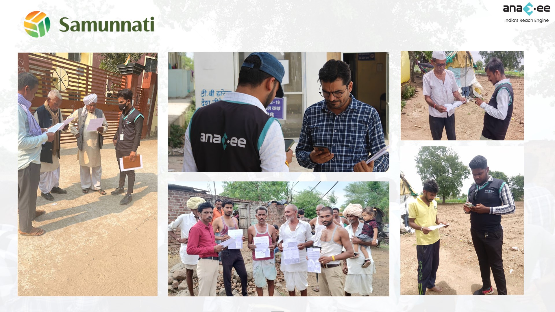
 About Anaxee
40,000+ Digital Runners · 540 districts · 26 states · 11,000+ pincodes of reach
Yield and acreage are the two numbers everything in agriculture rests on — crop-insurance payouts, procurement planning, an agri-input brand’s demand forecast, a lender’s exposure, a carbon or sustainability baseline. And both can only be established one way: by someone physically standing in the field, measuring the crop that is actually there.
That is exactly where the data gets soft. A crop-cutting experiment done carelessly, or a crop record filled in from the road, produces a clean-looking number that is quietly wrong — and every decision downstream inherits the error. Anaxee runs crop-cutting experiments and digital crop surveys the way it runs all fieldwork: measured on the ground, and proven.
What we measure in the field
Why ground truth still matters in a satellite age
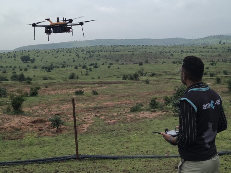
Satellites and models are powerful for scale, but they estimate — and an estimate cannot settle an insurance claim, confirm a specific farmer’s sown area, or weigh real grain. Ground truth is what calibrates and validates everything above it; a drone survey extends the eye from the air, and a crop-cutting experiment delivers the one number only a physical harvest can. The strongest programmes combine them — satellite and drone for coverage, a verified person on the plot for truth. That person has to be trusted, which is why GPS-tagged, time-stamped, photo-verified capture is the difference between a reading you can defend and one you merely hope is right.
Need verified yield, acreage or crop data from the field?
Anaxee runs crop-cutting experiments and digital crop surveys across 540 districts — GPS-tagged, photo-verified, on a dashboard you can open yourself. See our field data collection services.
How Anaxee runs it
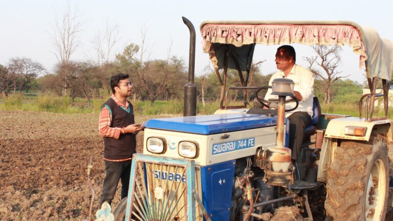
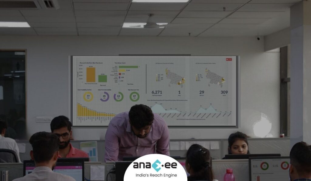
Anaxee reaches exactly where the plots are — rural India, down to the village — so there is already a trained, local Digital Runner who can walk to the field, speak the farmer’s language, and measure correctly. Each CCE or crop record is captured on an app with the plot’s GPS location, a timestamp and photos of the marked plot and the harvest, so a reading is tied to a real plot at a real moment. A sample is back-checked, and everything flows to a live dashboard you can watch fill in by district. It is the same engine behind our work for agri-input brands, farmer onboarding and large field surveys, extended to yield and crop data.
Where technology and AI change it
GPS and timestamp fix every reading to its plot and moment; the AI reads the field photos — confirming the crop, the marked plot, the harvest — and flags the suspect records: impossible locations, readings taken too fast, duplicate or recycled images. That is how a fabricated CCE or a desk-filled crop record is caught before it reaches a claim or a forecast. Because the dashboard is live, you watch coverage build plot by plot and correct course mid-season rather than discovering a gap after the harvest window has closed.
How Anaxee helps
Anaxee — India’s Reach Engine, a National Startup Award winner — runs crop-cutting experiments, digital crop surveys and farmer field data collection through 40,000+ Digital Runners across 540 districts and 11,000+ pincodes, every reading verifiable and on a live dashboard. It is part of Anaxee’s full agri field services. See our agri drone surveys, agri-input distribution and large-scale field surveys.
Proof — farmer & field data at scale3.4 lakh+ farmers mapped and surveyed across agri programmes, nationwide. See all case studies →
What happens when you reach out to Anaxee
- Tell us the study — the crop, the geography and the number of plots or readings — by form, WhatsApp or a call.
- A real person calls back — our Indore team, within one working day.
- We scope a pilot — a sample round of CCEs or crop records, geo-tagged and QA-checked, delivered as a dashboard you can open yourself.
A 150+ person team in Indore and 40,000+ Digital Runners on the ground — your enquiry reaches people who run field work every day, not an inbox that goes quiet.
Tell us about your crop study
Share the crop and geography — our team will get back within one working day.
Frequently asked questions
What is a crop-cutting experiment (CCE)?
What is a digital crop survey?
How is this different from a drone or satellite survey?
How do you stop readings being faked?
Can you reach remote plots and interview in local languages?
Who uses this data?
How many plots can you cover, and what does it cost?
The bottom line
Yield and acreage decide money — claims, forecasts, loans, baselines — and they can only be established on the ground. Anaxee measures them where the crop actually grows, with GPS, photos and back-checks on every reading, so the number you build a decision on is one you can defend.
Talk to Anaxee — whichever way is easiest