BLOG
Satellite vs Ground-Truth Crop Monitoring: Which to Use in India
 About Anaxee
40,000+ Digital Runners · 540 districts · 26 states · 11,000+ pincodes of reach
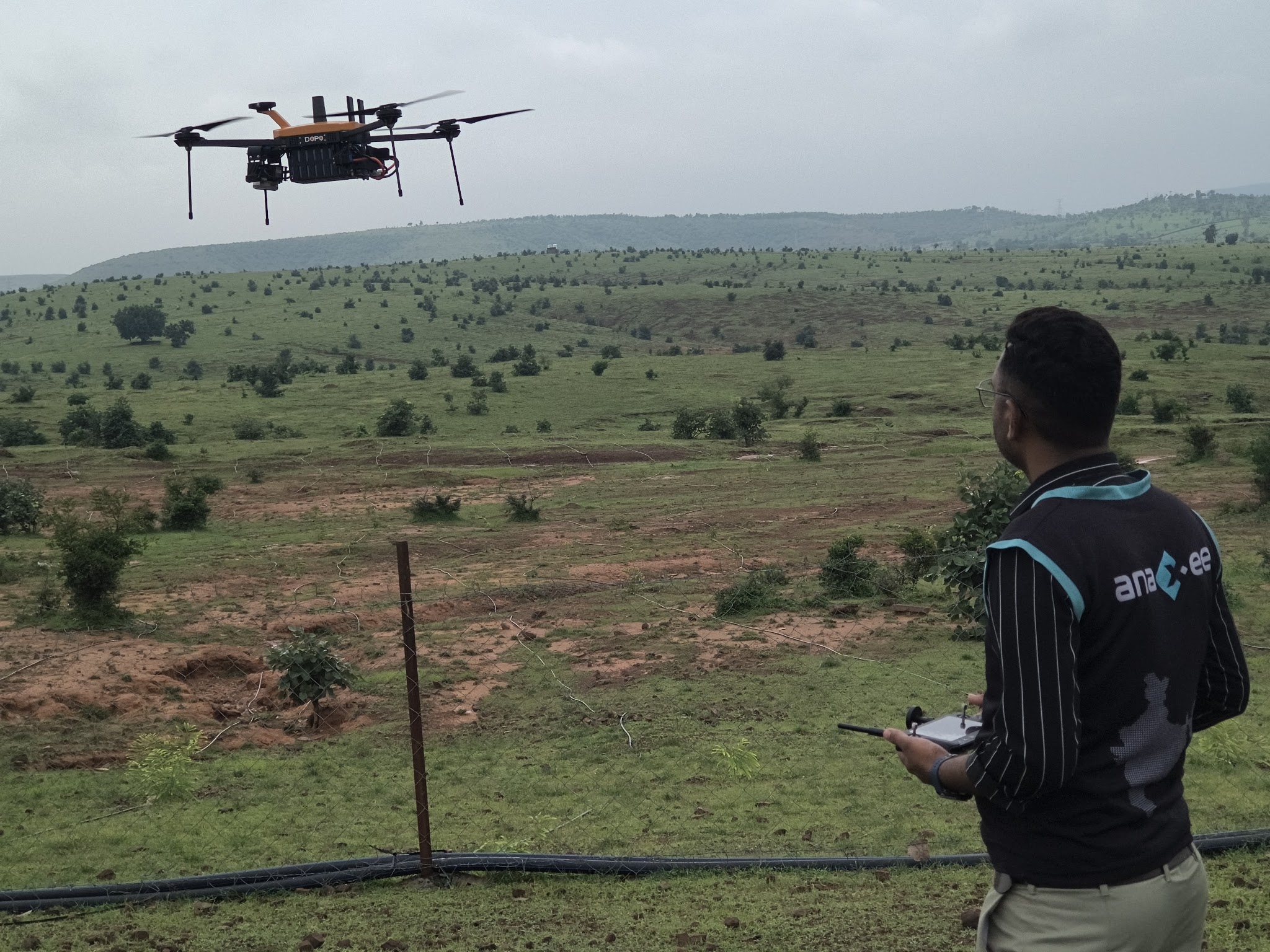
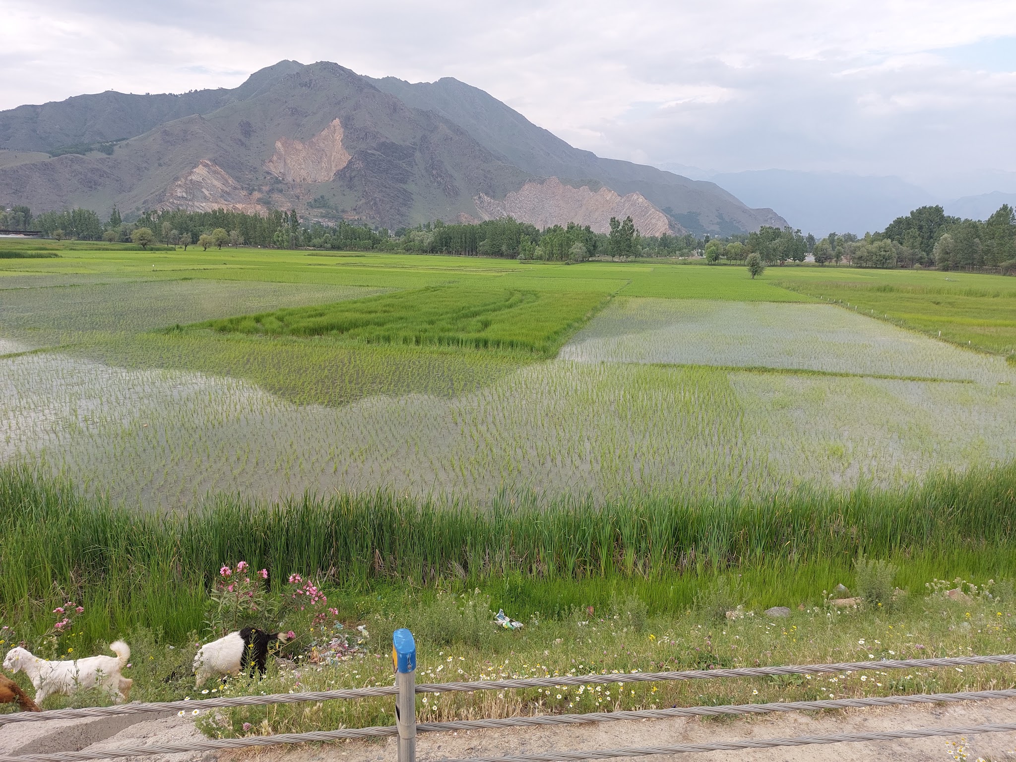
Remote sensing has transformed agriculture. From a satellite or a drone you can watch crop health, estimate acreage and spot stress across a whole district without leaving your desk. It is fast, it scales infinitely, and it keeps getting cheaper. So a fair question follows: if a satellite can see the whole country, why send anyone to the field at all?
Because a satellite sees a signal, not a fact. It infers “this pixel looks like healthy wheat” – it does not know whose field it is, what was actually sown, or whether the crop failed last week. For a dashboard, inference is fine. For a payout, an insurance claim, a carbon credit or a government report, you need confirmation. This guide lays out what each approach can and cannot do, and how to combine them.
The three approaches at a glance
Satellite / remote sensing
Space-based imagery & indices
Multispectral imagery and indices (NDVI and the like) read crop vigour, acreage and change over time, over huge areas, on a repeat cycle.
Best for
Scanning at scale, early anomaly flags, trend and change detection, prioritising where to look.
Ground-truth
Field verification by a person
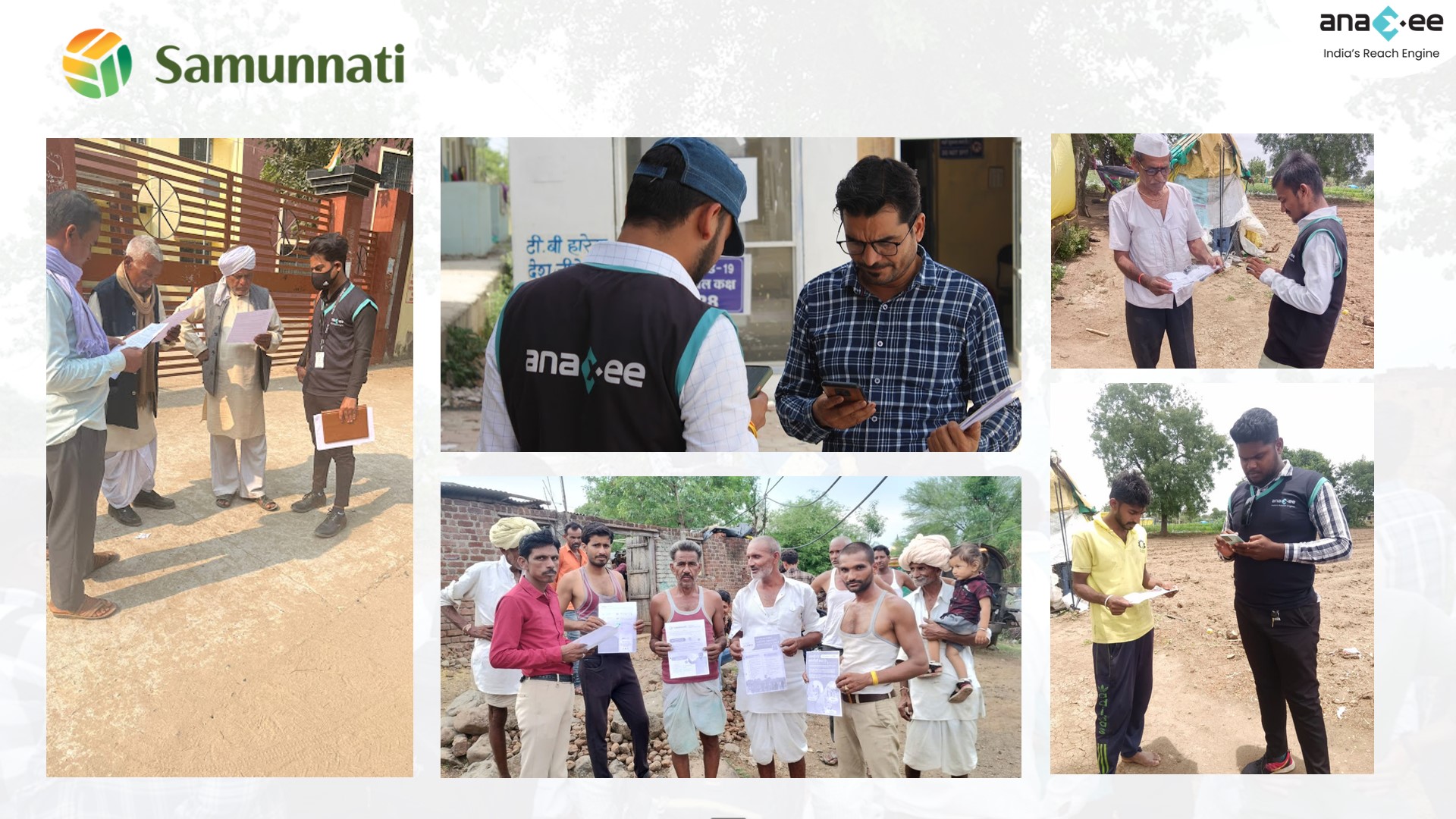
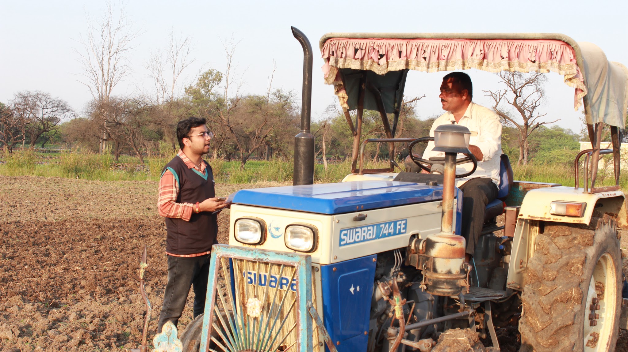
A trained person on the plot: geo-tagged photos, the actual crop and stage, a GPS boundary, a short farmer interview – recorded on an app.
Best for
Confirming what is really there, calibrating the model, and any number that must stand up to scrutiny.
Blended
Satellite flags, field confirms
Remote sensing scans everything and flags the exceptions; field teams verify a sample and every flagged plot; both feed one dashboard.
Best for
Large programmes that need both coverage and defensible accuracy – the usual right answer.
What satellite does brilliantly
Coverage and cost are unmatched. One pass images an entire district; a time series shows how a crop changed week to week; indices flag the fields that look stressed so you know where to send attention. For monitoring trends, estimating gross acreage, and catching anomalies early across a large area, nothing beats it on speed or price. The point of ground-truth is not to replace any of this – it is to anchor it.
Where satellite alone falls short
How to choose – a simple rule
Match the method to what the number has to survive. If it feeds a dashboard or a trend view, satellite alone is usually enough. The moment the number triggers money or a claim – a crop-insurance payout, a subsidy, a carbon credit, a damage assessment, a report to a regulator or funder – it needs ground-truth behind it, because that is the number someone will dispute. In practice that means: scan everything from space, verify a statistically sound sample plus every flagged or high-value plot on the ground.
The real answer: blend them
Satellite versus ground-truth is a false choice. Remote sensing gives you reach and early warning; field verification gives you proof and calibration. Run them together – imagery scans the whole area and flags the exceptions, field teams confirm a sample and every flagged plot, and AI ties the two together – and you get both scale and accuracy. That is how crop insurers, CSR and carbon programmes, and government schemes actually run it, and it is the model behind Anaxee’s digital crop surveys and agri field services.
Need boots on the ground behind your imagery?
Anaxee runs field verification and ground-truth crop surveys across 540 districts – geo-tagged, photo-verified and on a live dashboard. Tell us the programme and we’ll scope the ground layer.
Where technology and AI change it
Ground-truth no longer means a clipboard. Every field visit is captured on an app – GPS boundary, geo-tagged and time-stamped photos, crop and stage, a short farmer interview – so each observation is tied to a real place and moment. AI reads the field photos to classify the crop and flag the records that do not add up (impossible locations, interviews that ran too fast, duplicates) for re-verification, and the same AI layer reconciles the ground sample against the satellite read so the two agree. It all lands on a live dashboard where you watch coverage build plot by plot. The result is remote sensing you can actually defend.
How Anaxee helps
Anaxee – India’s Reach Engine, a National Startup Award winner – runs the ground half of crop monitoring: crop-cutting experiments and digital crop surveys, acreage and sowing verification, damage assessment and farmer onboarding, through 40,000+ Digital Runners across 540 districts and 11,000+ pincodes, every record geo-tagged and on a live dashboard. It pairs naturally with drone and aerial surveys and with carbon and CSR verification, all under one agri field-services roof.
Proof – agri & ground verification at scaleGround-truth and farmer data at national scale – plot by plot, village by village. See all case studies →
What happens when you reach out to Anaxee
- Tell us the programme – the geography, the crop, and what the numbers feed – by form, WhatsApp or a call.
- A real person calls back – our Indore team, within one working day.
- We scope the ground layer – sample design, a geo-tagged pilot and QA, on a dashboard you can open yourself.
A 150+ person team in Indore and 40,000+ Digital Runners on the ground – people who verify fields every day, not an inbox that goes quiet.
Tell us about your crop-monitoring programme
Share the geography and what the data feeds – our team will get back within one working day.
Frequently asked questions
Can’t satellites alone monitor crops now?
What exactly is “ground-truth” in crop monitoring?
Why does small plot size matter so much in India?
Do I need to ground-truth every plot?
How does ground-truth improve the satellite model?
Does Anaxee do the satellite part too?
The bottom line
Satellite and ground-truth are not rivals – they are two halves of one method. Remote sensing gives you reach, speed and early warning; ground-truth gives you proof, context and calibration. Use satellite to see everything and ground-truth to confirm what matters, and you get crop monitoring that is both wide and defensible. On India’s small, fragmented farms, skipping the ground half is how good imagery turns into bad decisions.
Talk to Anaxee – whichever way is easiest