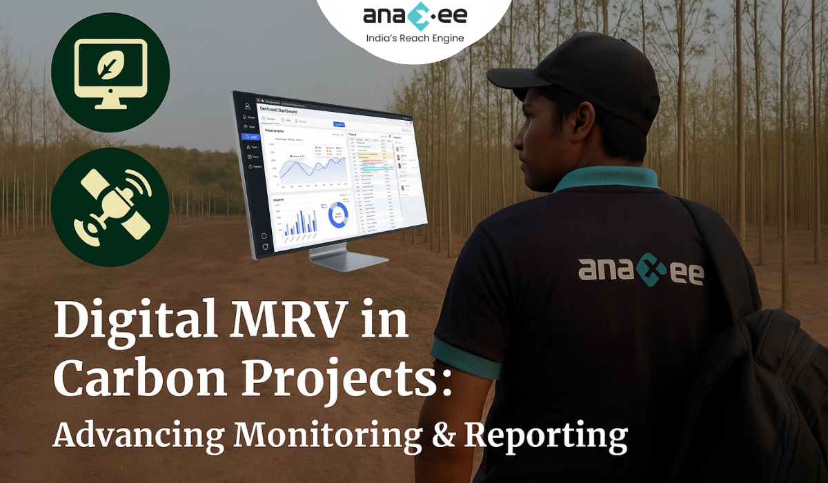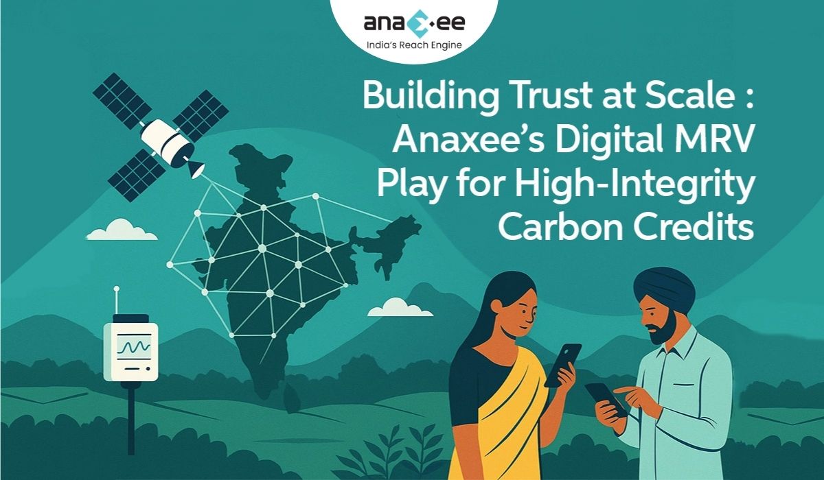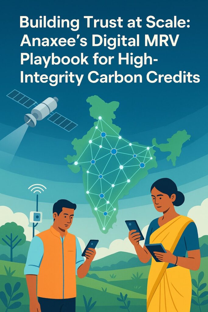
Introduction: The Trust Problem in Carbon Markets
The carbon market is built on a simple promise — one credit equals one tonne of CO₂ reduced or removed. Yet, this promise is only as strong as the systems that measure and verify it.
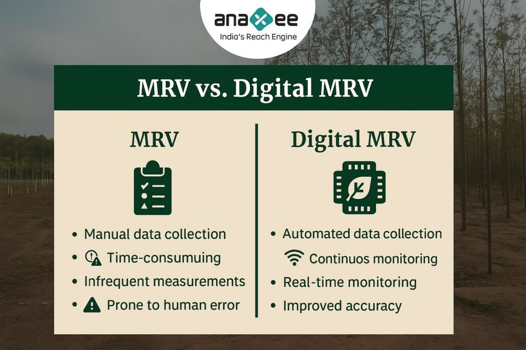
For years, carbon projects have relied on manual reporting, infrequent audits, and fragmented data systems — a setup vulnerable to inconsistencies and human error.
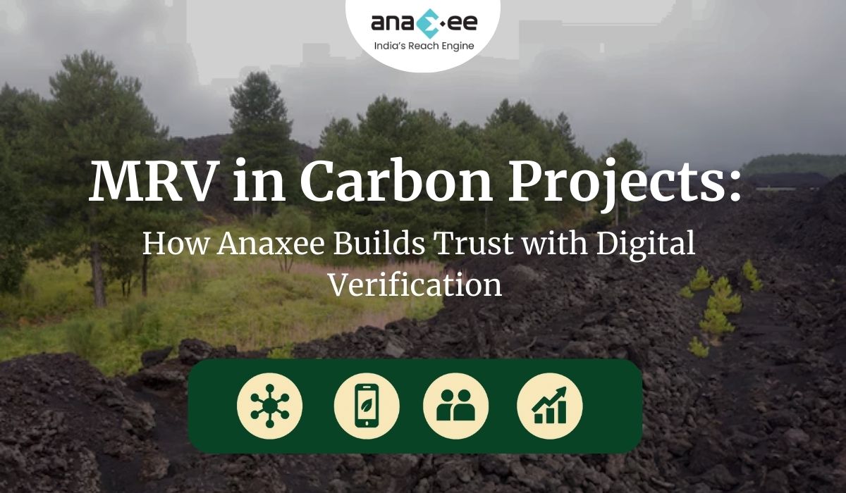
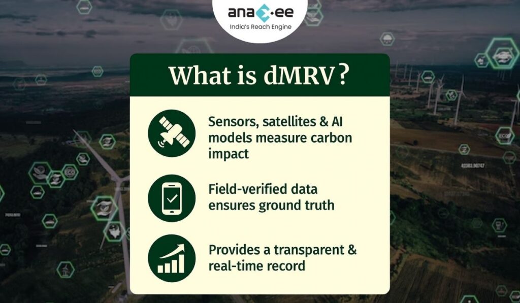
Enter Digital MRV (Measurement, Reporting, and Verification) — a revolution in how we track climate outcomes. Digital MRV uses sensors, satellite data, AI models, and field-level verification tools to build a transparent, traceable record of carbon performance.
For Anaxee, MRV isn’t just compliance — it’s the foundation of credibility.
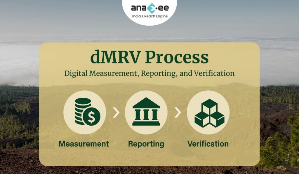
What is MRV — and Why It Matters

Measurement determines what’s happening on the ground.
Reporting communicates those findings in a structured, standardized way.
Verification ensures that an independent, trusted system confirms those claims.
MRV systems bridge the gap between science and policy — between the carbon stored in a forest or soil, and the value that can be traded in global markets. Without accurate MRV, carbon markets collapse under uncertainty.
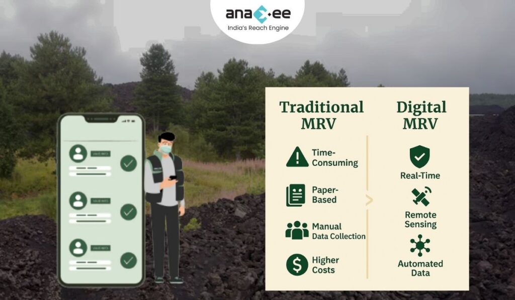
Traditionally, MRV relied on sporadic manual sampling and project developer declarations. But in the age of precision data and digital infrastructure, manual MRV is no longer enough.
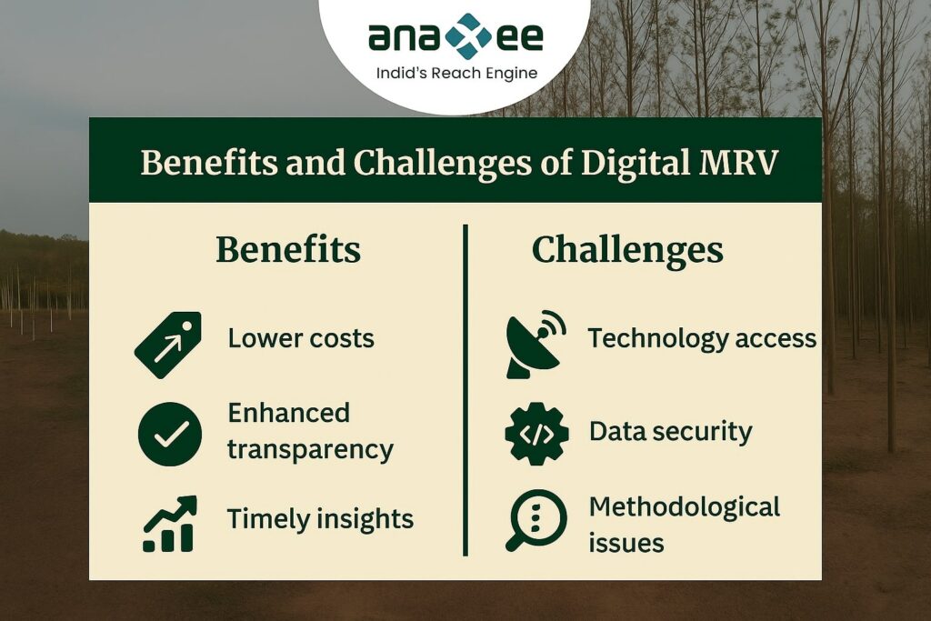
The Rise of Digital MRV (dMRV)
Digital MRV — or dMRV — introduces automation, data integration, and real-time validation into carbon accounting.
Here’s how it transforms each layer:
-
Measurement:
-
Satellite imagery, LiDAR, and remote sensors collect spatial and temporal data.
-
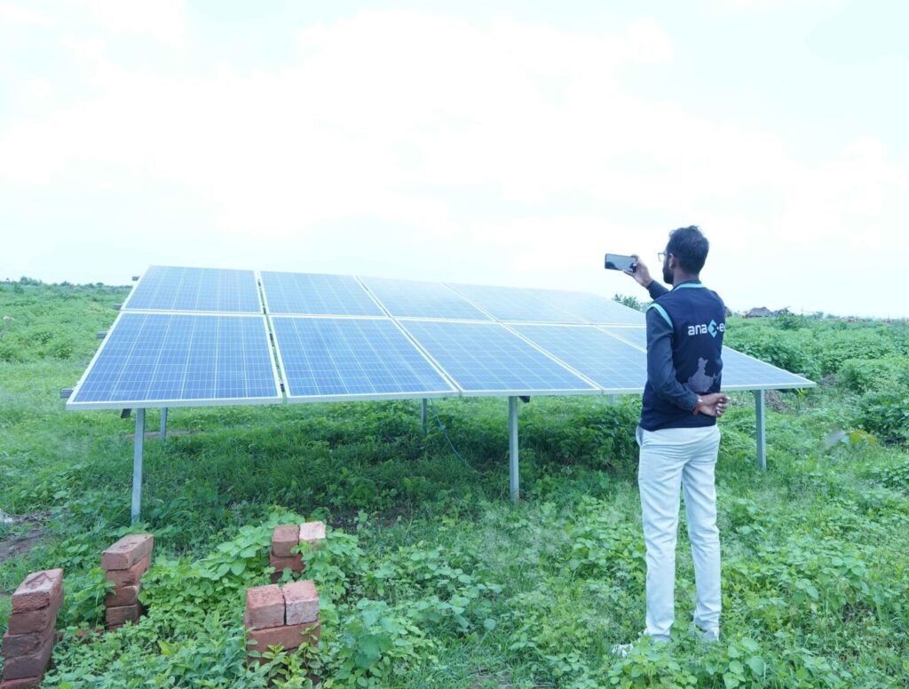
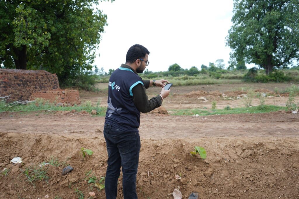
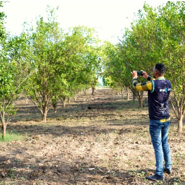
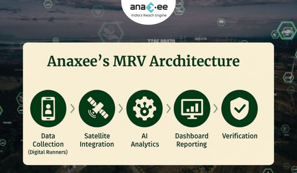
Mobile data collection by field agents (Anaxee’s Digital Runners) ensures on-ground reality matches satellite records.
-
-
Reporting:
-
Standardized data formats (API-based) reduce subjectivity.
-
Automated data flows feed into dashboards that are auditable and tamper-proof.
-
-
Verification:
-
Smart contracts, timestamping, and blockchain-backed verification ensure every tonne of CO₂ claimed has traceable evidence.
-
The result is a system that replaces assumption with evidence, and trust with transparency.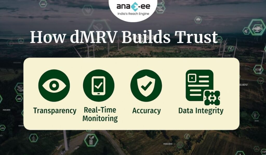
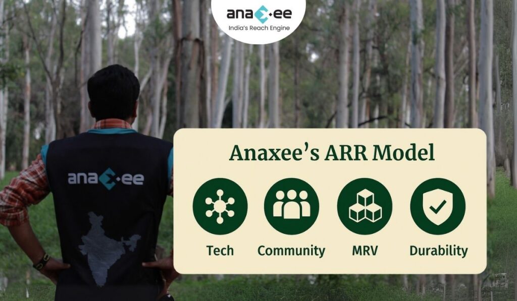
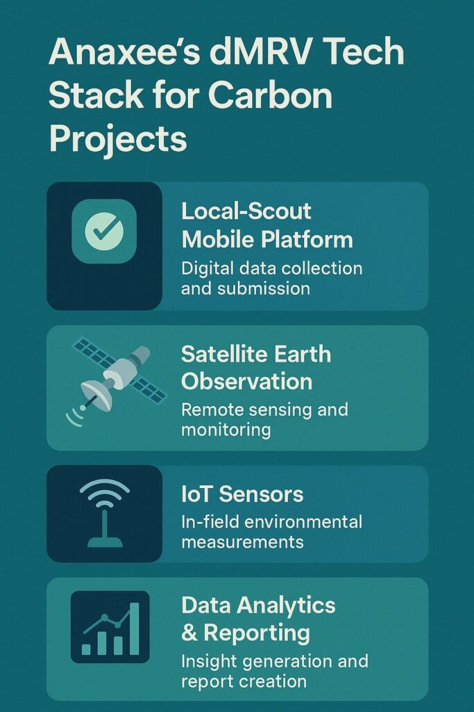
Anaxee’s Role in Building India’s Digital MRV Ecosystem
Anaxee’s dMRV model combines three pillars: Tech, People, and Scale.
1. Tech: Smart Tools for Real-Time Verification
Anaxee’s digital infrastructure integrates:
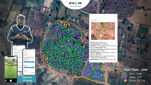
-Geo-tagged plantation data
-AI-based growth assessment models
-Automated image recognition for species verification
-Mobile-based field apps for instant data uploads
Every data point is time-stamped, geolocated, and cross-verified — meaning no credit can exist without proof.
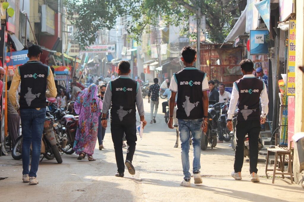
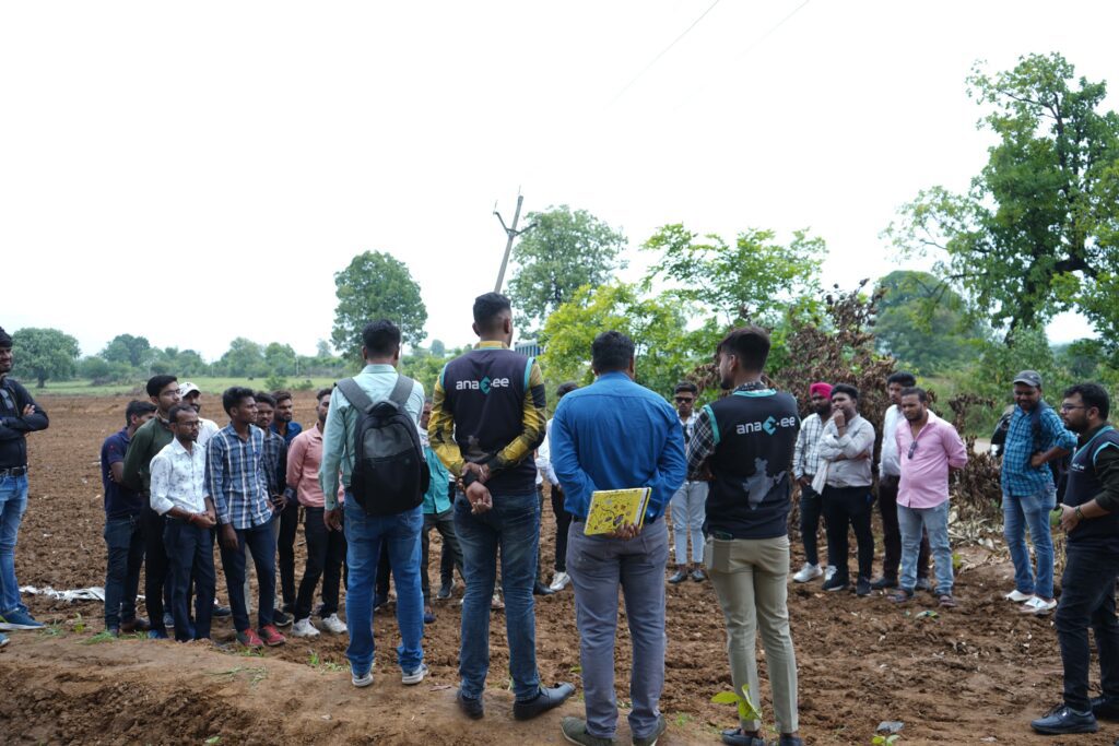
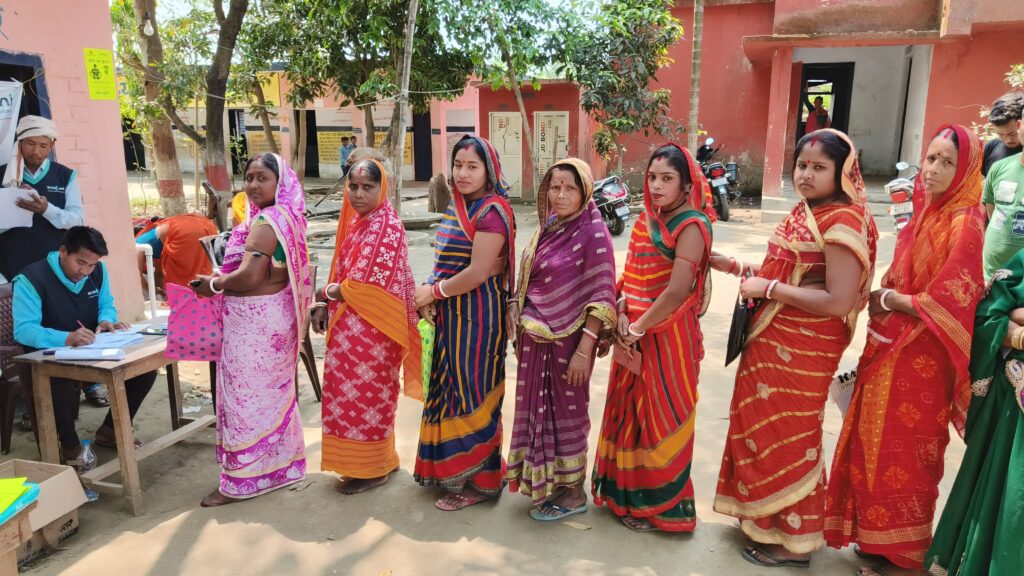
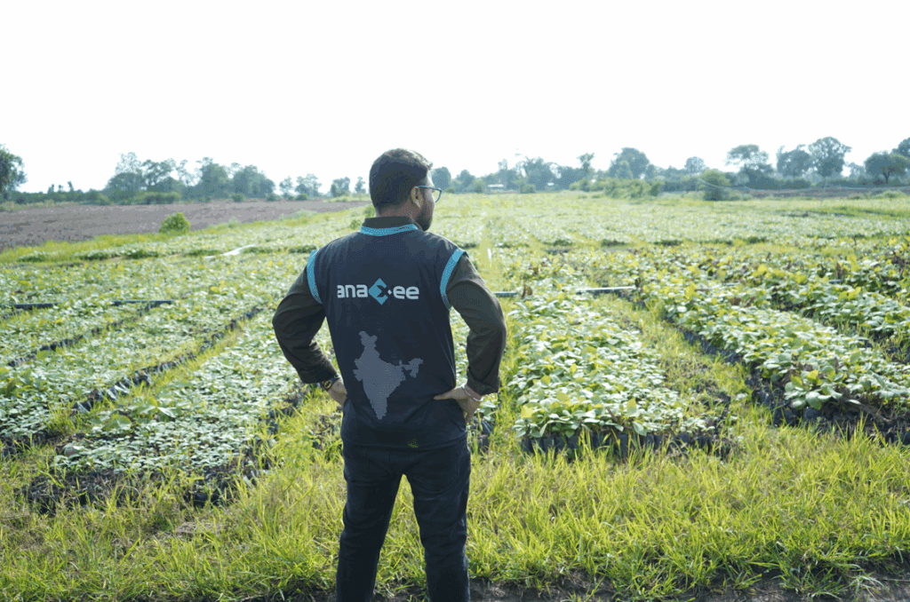
2. People: The Digital Runners Network
With over 40,000 Digital Runners across India, Anaxee ensures that data verification isn’t a one-time exercise — it’s continuous.
Each runner collects photo, GPS, and survey data that feed directly into Anaxee’s central MRV dashboards.
3. Scale: National Coverage, Local Precision
Anaxee’s tech stack enables high-resolution monitoring at scale — whether in agroforestry belts of Madhya Pradesh or mangrove corridors of Odisha.
This scalability is what makes dMRV the only viable path for credible national carbon implementation.
Why Transparency is the New Currency of Credibility
In a market flooded with new methodologies and voluntary claims, transparency is the only safeguard against greenwashing.
Investors, buyers, and regulators increasingly demand publicly accessible project data — not just glossy reports.
Anaxee’s approach:
-All project data (bound by consent and security) is traceable in structured formats.
-Periodic field photos and satellite maps are integrated into dashboards.
-MRV processes are independently auditable, ensuring external validation.
This level of transparency not only builds investor trust but also empowers communities and government stakeholders to see progress in real time.
The Role of dMRV in Indian Carbon Policy
India’s emerging Carbon Credit Trading Scheme (CCTS) underlines a national shift toward robust emissions monitoring.
Under this framework, digital MRV will be the baseline for all accredited carbon assets — whether from industrial efficiency or nature-based solutions.
Anaxee’s dMRV aligns with this national vision, offering:
-Policy-grade data integrity
-Open reporting formats
-Integration with Verra and Gold Standard protocols
As India prepares for a compliance-driven carbon market, Anaxee’s system bridges local projects with global standards.
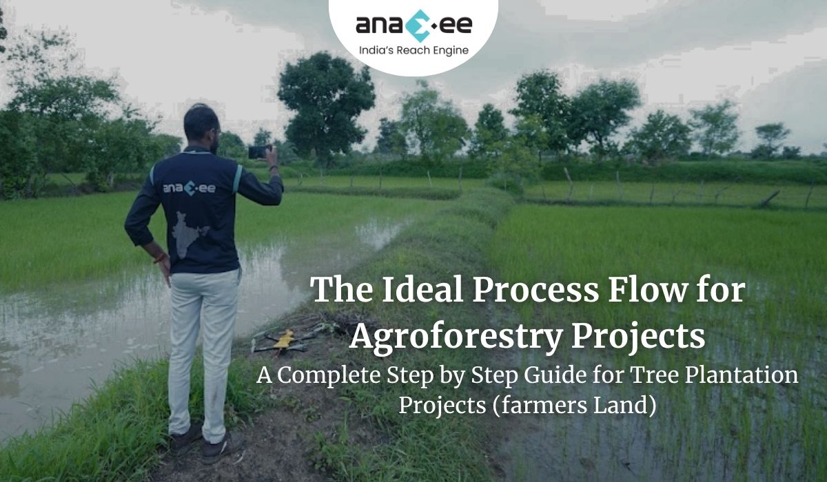
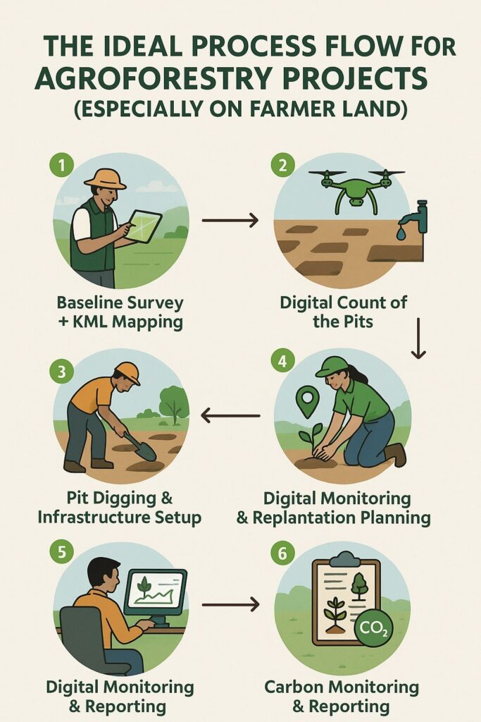
Use Case: Agroforestry Verification through dMRV
Consider a 10,000-hectare agroforestry project under Verra’s VM0047 methodology.
Traditional MRV would:
-Require months of field audits.
-Depend on manual records.
-Risk errors due to data loss or inconsistent reporting.
With Anaxee’s dMRV:
-Farmers upload geo-tagged photos via mobile apps.
-Growth models estimate biomass dynamically.
-Field runners validate data through the Anaxee Reach Engine.
-The system generates automated verification reports ready for registry submission.
What once took six months now takes weeks — with 100% traceable data trails.
Challenges in MRV Digitization — and How Anaxee Solves Them
| Challenge | Traditional Limitation | Anaxee’s Solution |
| Data Fragmentation | Disconnected sources (manual, satellite, survey) | Unified MRV data lake with API integration |
| Verification Lag | Long field-to-report cycles | Real-time uploads and dashboards |
| Lack of Trust | Opaque systems | Public audit trails and transparent data |
| Cost | High audit costs | Distributed verification via local Runners |
Anaxee’s MRV Architecture — A Hybrid Human + Tech Model
Unlike fully automated systems that ignore local realities, Anaxee’s model blends:
-Remote sensing precision with
-Community-based ground truthing.
Each Digital Runner is not just a data collector — they are an agent of verification.
This ensures that technology remains rooted in human context, especially in smallholder-based projects where nuance matters.
dMRV and the Future of Carbon Quality Ratings
As carbon markets mature, buyers are increasingly relying on third-party rating agencies that assess credit quality based on criteria like:
-Permanence
-Additionality
-Leakage
-MRV quality
In these frameworks, MRV quality carries the highest weight.
A project with transparent dMRV can command 20–40% higher market value due to lower verification risk.
This is why Anaxee positions dMRV not as a compliance cost — but as a value driver in every carbon transaction.
Global Comparisons: What India Can Learn
While global registries like Verra, Gold Standard, and Puro.Earth are digitizing rapidly, India’s strength lies in distributed field networks and low-cost tech deployment.
Anaxee combines both — pairing India’s human infrastructure with tech-enabled validation.
This hybrid model ensures India’s projects don’t just meet global verification standards — they set new benchmarks in accessibility, speed, and cost efficiency.
The Road Ahead: Integrating dMRV with AI and Blockchain
Anaxee’s R&D teams are advancing MRV into the next frontier:
-AI-based anomaly detection: Flagging inconsistent field data automatically.
-Blockchain timestamping: Immutable verification of carbon data transactions.
-Predictive modeling: Forecasting carbon gains under different land-use scenarios.
These systems will evolve the MRV process from reactive validation to proactive assurance — anticipating issues before they arise.
Why dMRV is a Game Changer for Climate Finance
Transparent data doesn’t just verify — it unlocks capital.
Financial institutions, ESG funds, and corporates are more likely to invest when they can see measurable impact rather than promises.
Anaxee’s dashboards provide exactly that — a living, breathing view of carbon impact across time and space.
By bridging measurement with meaning, Anaxee’s dMRV systems are building the trust infrastructure for India’s carbon future.
Conclusion: Trust Is the True Currency of Climate Action
Digital MRV isn’t just about data; it’s about accountability.
In a market where credibility defines value, only transparent systems can sustain investor confidence and ensure communities are rewarded fairly for their climate contributions.
Anaxee’s dMRV framework doesn’t just monitor carbon — it builds the backbone of trust that the global carbon market desperately needs.
From soil to satellite, every data point counts — and Anaxee makes sure it’s counted right.
✅ Summary Snapshot
| Aspect | Traditional MRV | Anaxee’s dMRV |
| Data Collection | Manual & fragmented | Geo-tagged & automated |
| Verification | Delayed, costly | Real-time, field-synced |
| Transparency | Limited | Public, dashboard-based |
| Community Role | Minimal | Active participation |
| Value to Buyer | Moderate | High due to data trust |
Final Thought
The future of carbon markets belongs to those who can prove, not just promise.
And with its Digital Runners and AI-driven MRV systems, Anaxee is ensuring every tonne of carbon truly counts.
About Anaxee:
Anaxee drives/develops large-scale, country-wide Climate and Carbon Credit projects across India. We specialize in Nature-Based Solutions (NbS) and community-driven initiatives, providing the technology and on-ground network needed to execute, monitor, and ensure transparency in projects like agroforestry, regenerative agriculture, improved cookstoves, solar devices, water filters and more. Our systems are designed to maintain integrity and verifiable impact in carbon methodologies.
Beyond climate, Anaxee is India’s Reach Engine- building the nation’s largest last-mile outreach network of 100,000 Digital Runners (shared, tech-enabled field force). We help corporates, agri-focused companies, and social organizations scale to rural and semi-urban India by executing projects in 26 states, 540+ districts, and 11,000+ pin codes, ensuring both scale and 100% transparency in last-mile operations. Connect with Anaxee at sales@anaxee.com